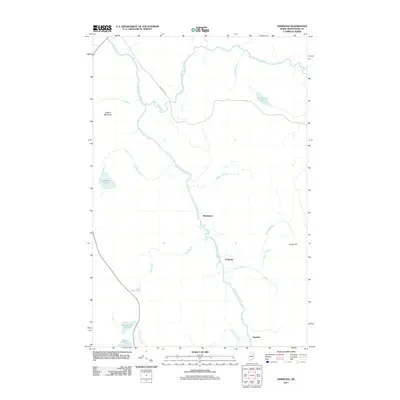
2011 Map of Griswold
USGS Topo · Published 2011About this map
Saint Croix Stream anchors this remote landscape in Aroostook County, flowing past the small settlements of Blackwater and Griswold. The terrain is defined by a dense network of waterways and ponds typical of the Maine woods, including Matherson Pond, Hall Pond, and Cranberry Pond. Elevations such as Pollard Mountain in the west and Picard Hill in the east overlook a region primarily accessed via Blackwater Rd. The map illustrates a quiet, resource-rich geography where Blackwater River and Quinsy Brook converge, supporting a landscape that remains sparsely populated and deeply connected to its hydrological features. This survey preserves the exact placement of local landmarks like Hawkins and Otter Pond, offering a clear view of the area's geography at the start of the 2010s.
Find a feature on this map
18 named features on this map. Tap any name to fly to it.
Don’t see what you’re looking for? This feature index may not catch every label — zoom into the map to look around manually.
Map Details
Editions of this 2011 Griswold Map
This is the sole edition of this map. No revisions or reprints were ever made.
Other maps of this area

1931 · Ashland
USGS Topo · 1:48,000

1934 · Ashland
USGS Topo · 1:62,500

1935 · Howe Brook
USGS Topo · 1:48,000

1935 · Presque Isle
USGS Topo · 1:62,500

1939 · Howe Brook
USGS Topo · 1:62,500

1940 · Oxbow
USGS Topo · 1:62,500

1942 · Oxbow
USGS Topo · 1:62,500

1953 · Ashland
USGS Topo · 1:62,500

1953 · Presque Isle
USGS Topo · 1:62,500

1954 · Howe Brook
USGS Topo · 1:62,500