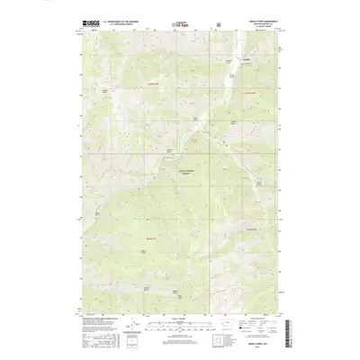
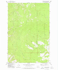
2017 Map of Grizzly Point
USGS Topo · Published 2017About this map
Quigley and the surrounding drainage basins of the Lolo National Forest define this 2017 study of the Sapphire Mountains. The landscape is carved by a dense network of gulches and creeks, with Rock Creek serving as the primary hydrological artery. Named features like Grizzly Point and Sawmill Gulch suggest a history of resource extraction and local geography tied to the timber and grazing lands of Granite County.
Find a feature on this map
47 named features on this map. Tap any name to fly to it.
Don’t see what you’re looking for? This feature index may not catch every label — zoom into the map to look around manually.
Map Details
Editions of this 2017 Grizzly Point Map
This is the sole edition of this map. No revisions or reprints were ever made.
Other maps of this area
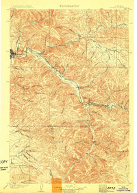
1903 · Bonner
USGS Topo · 1:125,000
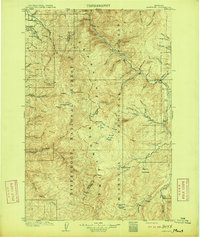
1909 · Sapphire
USGS Topo · 1:125,000

1947 · Butte
USGS Topo · 1:250,000

1958 · Butte
USGS Topo · 1:250,000
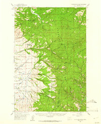
1959 · Cleveland Mountain
USGS Topo · 1:62,500
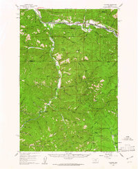
1959 · Ravenna
USGS Topo · 1:62,500
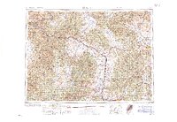
1960 · Butte
USGS Topo · 1:250,000
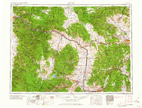
1962 · Butte
USGS Topo · 1:250,000
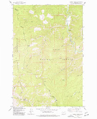
1974 · Sawmill Saddle
USGS Topo · 1:24,000
1975 · Alder Gulch
USGS Topo · 1:24,000