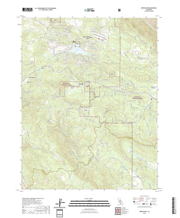
2021 Map of Groveland
USGS Topo · Published 2021About this map
The Sierra Nevada foothills define this landscape, where the Groveland community and the smaller settlement of Second Garrotte sit at the edge of the Stanislaus National Forest. The map illustrates a complex interface between residential development and the natural environment, particularly around the large water body of Pine Mountain Lake and its surrounding network of namesake roads like Pine Mountain Dr. Significant local history is preserved in labels for the Divide Cem and the Garrotte Basin, names that recall the region's 19th-century mining heritage. To the south, the terrain becomes increasingly steep and varied, marked by features such as Hells Hollow and Jackass Ridge. The northeastern corner is anchored by the Tuolumne Wild and Scenic River, while the southern boundary follows the border between Tuolumne and Mariposa counties along Wagner Ridge.
Find a feature on this map
142 named features on this map. Tap any name to fly to it.
Don’t see what you’re looking for? This feature index may not catch every label — zoom into the map to look around manually.
Map Details
Editions of this 2021 Groveland Map
This is the sole edition of this map. No revisions or reprints were ever made.
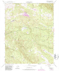
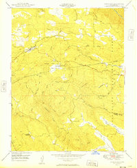
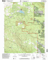
Historical Maps of Mariposa County Through Time
4 maps found