2001 Map of Groveland
USGS Topo · Published 2004About this map
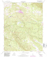
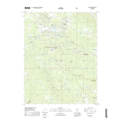
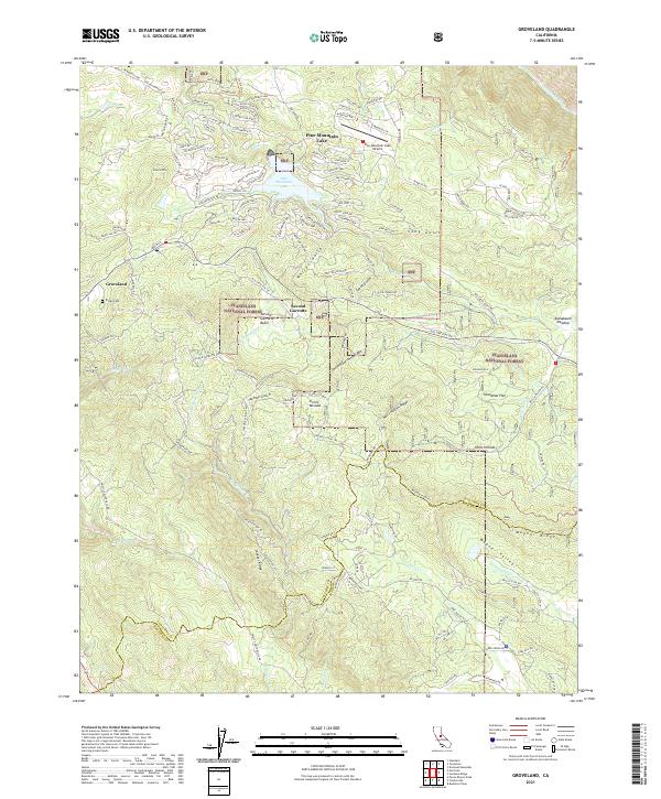
Groveland and the surrounding Sierra Nevada foothills appear as a mixture of Gold Rush legacy and modern recreation in this 2001 revision. The settlement of Second Garrotte and the nearby Bret Harte Cabin anchor the area's historical identity, while the development around Pine Mountain Lake—complete with a Golf Course, Athletic Field, and the Pine Mountain Lake Airport—marks its contemporary evolution. The landscape is deeply carved by water and industry, featuring the Hetch Hetchy Aqueduct cutting across the Stanislaus National Forest and numerous historical mining operations like the Kanaka Mine and Red Jacket Mine. Deep canyons formed by Jackass Creek and the Tuolumne River define the southern terrain, where the rugged topography is traversed by old routes such as Ponderosa Way and Priest Coulterville Road. This map captures a transition point where high-country ranching at Crook Ranch meets the infrastructural demands of California's water systems.
Find a feature on this map
58 named features on this map. Tap any name to fly to it.
Don’t see what you’re looking for? This feature index may not catch every label — zoom into the map to look around manually.
Map Details
Editions of this 2001 Groveland Map
This is the sole edition of this map. No revisions or reprints were ever made.
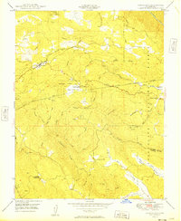
Historical Maps of Groveland Through Time
7 maps found