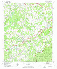
1971 Map of Grover
USGS Topo · Published 1974About this map
The Southern railroad line cuts a diagonal path through this borderland region, connecting the rural communities of Grover, Archdale, and Midpine. The landscape is defined by the rolling foothills of Whitaker Mountain and the significant presence of Kings Mountain National Military Park in the southeast corner. This area serves as a busy crossroads for utility and transportation, evidenced by multiple pipelines and the large industrial waste pond near the North Carolina and South Carolina state line.
Find a feature on this map
60 named features on this map. Tap any name to fly to it.
Don’t see what you’re looking for? This feature index may not catch every label — zoom into the map to look around manually.
Map Details
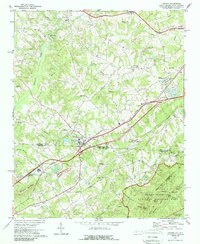
Editions of this 1971 Grover Map
2 editions found
Other maps of this area

1906 · Kings Mountain
USGS Topo · 1:62,500

1908 · Kings Mountain
USGS Topo · 1:62,500

1909 · Gaffney
USGS Topo · 1:62,500

1909 · Lincolnton
USGS Topo · 1:62,500

1911 · Lincolnton
USGS Topo · 1:62,500

1950 · Shelby
USGS Topo · 1:62,500

1953 · Charlotte
USGS Topo · 1:250,000

1954 · Charlotte
USGS Topo · 1:250,000

1960 · Charlotte
USGS Topo · 1:250,000

1962 · Charlotte
USGS Topo · 1:250,000