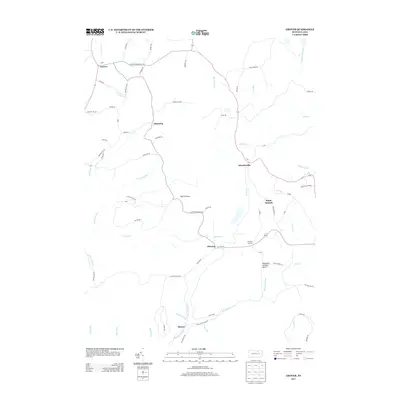
2013 Map of Grover
USGS Topo · Published 2013About this map
Grover and Chemung anchor the northern landscape of this region, where the headwaters of Towanda Cr begin their descent through the hills. This 2013 survey illustrates a rural environment defined by high ridges and a dense network of watercourses, including Beech Flats Cr and Schrader Cr. The settlement pattern follows narrow valleys and elevated plateaus, as seen at Maple Summit and the high-altitude crossroads of Tompkins Corners.
Find a feature on this map
73 named features on this map. Tap any name to fly to it.
Don’t see what you’re looking for? This feature index may not catch every label — zoom into the map to look around manually.
Map Details
Editions of this 2013 Grover Map
This is the sole edition of this map. No revisions or reprints were ever made.
Other maps of this area

1927 · Eagles Mere
USGS Topo · 1:48,000

1930 · Warrensville
USGS Topo · 1:62,500

1932 · Eagle Mere
USGS Topo · 1:62,500

1934 · Warrensville
USGS Topo · 1:62,500

1942 · Canton
USGS Topo · 1:62,500

1943 · Powell
USGS Topo · 1:62,500

1944 · Canton
USGS Topo · 1:62,500

1945 · Powell
USGS Topo · 1:62,500

1953 · Warrensville
USGS Topo · 1:62,500

1953 · Eagles Mere
USGS Topo · 1:62,500
Featured Places
- Leroy Township, PA
- Grover, Canton Township
- Chemung, McNett Township
- Fox Township, PA
- Cascade Township, PA