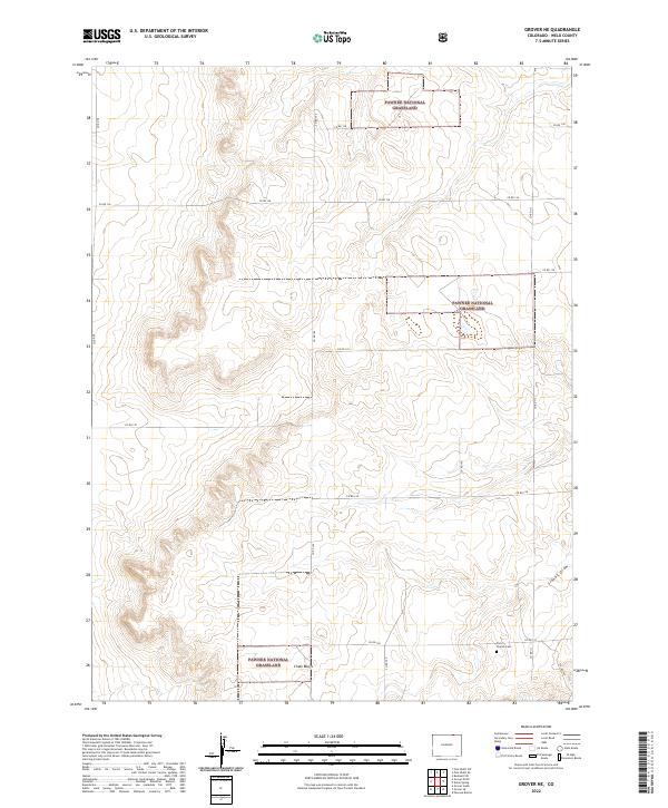
2022 Map of Grover NE
USGS Topo · Published 2022About this map
Pawnee National Grassland dominates this high plains landscape in northern Colorado, characterized by the dramatic escarpment of Chalk Bluffs. This modern survey illustrates the enduring grid of section lines and county roads, such as Co Rd 124 and Co Rd 105, which define the agricultural and grazing boundaries of Weld County. The presence of Zion Church Cem in the southeastern corner provides a specific point of interest for genealogists tracing local families in this sparsely settled region. Drainage patterns are primarily defined by Sidney Draw, which cuts through the southern sections. The map reveals the balance between protected federal lands and private holdings, documented through precise legal boundaries like t12n r60w and t12n r59w, showing how the landscape is managed today.
Find a feature on this map
21 named features on this map. Tap any name to fly to it.
Don’t see what you’re looking for? This feature index may not catch every label — zoom into the map to look around manually.
Map Details
Editions of this 2022 Grover NE Map
This is the sole edition of this map. No revisions or reprints were ever made.
Other maps of this area

1954 · Sterling
USGS Topo · 1:250,000

1954 · Scottsbluff
USGS Topo · 1:250,000

1954 · Cheyenne
USGS Topo · 1:250,000

1954 · Greeley
USGS Topo · 1:250,000

1957 · Greeley
USGS Topo · 1:250,000

1958 · Cheyenne
USGS Topo · 1:250,000

1958 · Greeley
USGS Topo · 1:250,000

1958 · Scottsbluff
USGS Topo · 1:250,000

1958 · Sterling
USGS Topo · 1:250,000

1961 · Greeley
USGS Topo · 1:250,000