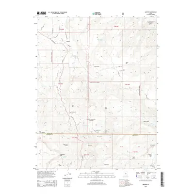
2014 Map of Grover
USGS Topo · Published 2014About this map
Grover serves as the primary settlement on this sheet, situated where State Rte 12 winds through the high desert of Wayne County. The town is notably connected to the Hale Summer Theatre Rd, reflecting the local cultural significance of the theater founded here. The landscape is a complex arrangement of canyons and plateaus, defined by the boundaries of Dixie National Forest and the edge of Capitol Reef National Park. Water sources like Carcass Cr and Wide Hollow Reservoir are vital features in this arid terrain, which transitions from high points like Lion Mtn down to Pleasant Creek Flats. Evidence of early grazing and travel is found in labels for Rock Creek Meadow and the numerous canyons, including Nixon Canyon and Cuts Canyon, that carve through the Miners Mtn area.
Find a feature on this map
59 named features on this map. Tap any name to fly to it.
Don’t see what you’re looking for? This feature index may not catch every label — zoom into the map to look around manually.
Map Details
Editions of this 2014 Grover Map
This is the sole edition of this map. No revisions or reprints were ever made.
Other maps of this area

1885 · Fish Lake
USGS Topo · 1:250,000

1896 · Fish Lake
USGS Topo · 1:250,000

1952 · Notom 3 SW
USGS Topo · 1:24,000

1952 · Notom 3 NW
USGS Topo · 1:24,000

1952 · Notom 2 SE
USGS Topo · 1:24,000

1952 · Notom 2 SW
USGS Topo · 1:24,000

1952 · Notom 4 NW
USGS Topo · 1:24,000

1952 · Notom 4 SW
USGS Topo · 1:24,000

1952 · Notom 3 SE
USGS Topo · 1:24,000

1952 · Notom 3 NE
USGS Topo · 1:24,000