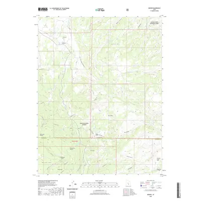
2020 Map of Grover
USGS Topo · Published 2020About this map
Grover serves as the primary settlement in this high-elevation landscape, where the southern boundary of Capitol Reef National Park meets the sprawling Dixie National Forest. The geography is defined by significant vertical relief, extending from the peaks of Boulder Mtn and The Terrace down to the alluvial Pleasant Creek Flats. A complex network of drainage systems like Carcass Cr and Sulphur Cr carve through the terrain, supporting local landmarks such as Devils Slide and Chokecherry Meadow. Modern recreational infrastructure is well-established here, with the Slickrock Trail and Singletree Falls Trail providing access to the more remote corners of the forest and park. The inclusion of Grover Cem and the settlement of Happy Valley adds important local history context to this 2020 survey of Wayne and Garfield counties.
Find a feature on this map
44 named features on this map. Tap any name to fly to it.
Don’t see what you’re looking for? This feature index may not catch every label — zoom into the map to look around manually.
Map Details
Editions of this 2020 Grover Map
This is the sole edition of this map. No revisions or reprints were ever made.
Other maps of this area
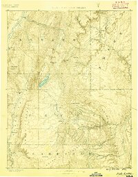
1885 · Fish Lake
USGS Topo · 1:250,000
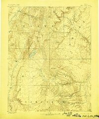
1896 · Fish Lake
USGS Topo · 1:250,000
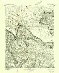
1952 · Notom 3 SW
USGS Topo · 1:24,000
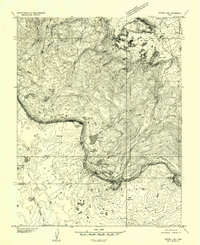
1952 · Notom 3 NW
USGS Topo · 1:24,000
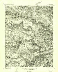
1952 · Notom 2 SE
USGS Topo · 1:24,000
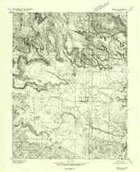
1952 · Notom 2 SW
USGS Topo · 1:24,000
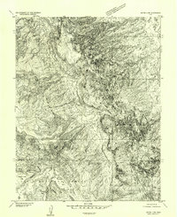
1952 · Notom 4 NW
USGS Topo · 1:24,000
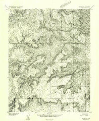
1952 · Notom 4 SW
USGS Topo · 1:24,000
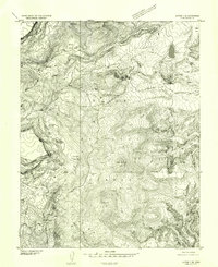
1952 · Notom 3 SE
USGS Topo · 1:24,000
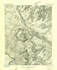
1952 · Notom 3 NE
USGS Topo · 1:24,000