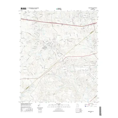
2017 Map of Grovetown
USGS Topo · Published 2017About this map
Grovetown stands as the central hub of this late-2010s survey, where the suburban expansion of the Augusta area meets a landscape defined by creeks and small reservoirs. The transition from residential neighborhoods to more structured land use is evident near the Columbia County and Richmond County boundary, particularly with the extensive road network of the numbered avenues like 10th Ave and 11th Ave. This era of the landscape is marked by several small water bodies such as Maxwell Lake, Soil Erosion Lake, and Sunrise Lake, reflecting the local topography and water management strategies of the region.
Find a feature on this map
226 named features on this map. Tap any name to fly to it.
Don’t see what you’re looking for? This feature index may not catch every label — zoom into the map to look around manually.
Map Details
Editions of this 2017 Grovetown Map
This is the sole edition of this map. No revisions or reprints were ever made.
Other maps of this area

1892 · Mc Cormick
USGS Topo · 1:125,000

1912 · Mc Cormick
USGS Topo · 1:125,000

1920 · Clarks Hill
USGS Topo · 1:48,000

1921 · Clarks Hill
USGS Topo · 1:62,500

1921 · Appling
USGS Topo · 1:62,500

1922 · Harlem
USGS Topo · 1:62,500

1922 · Hephzibah
USGS Topo · 1:62,500

1941 · Clarks Hill
USGS Topo · 1:62,500

1942 · Clarks Hill
USGS Topo · 1:62,500

1943 · Appling
USGS Topo · 1:62,500