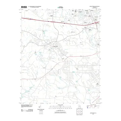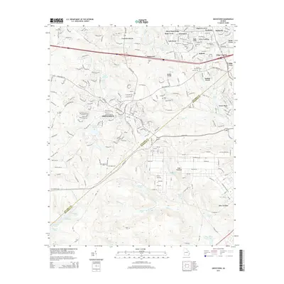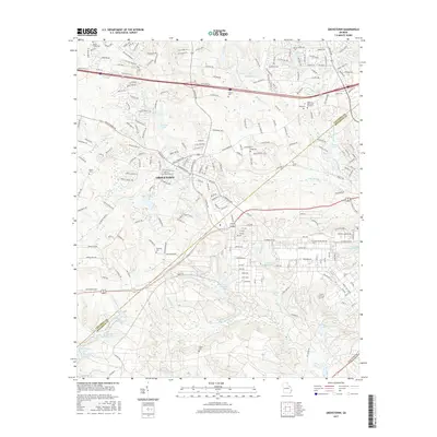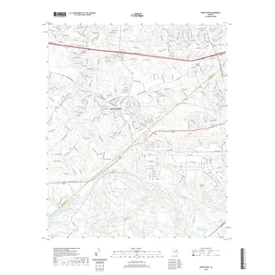
2024 Map of Grovetown
USGS Topo · Published 2024About this map
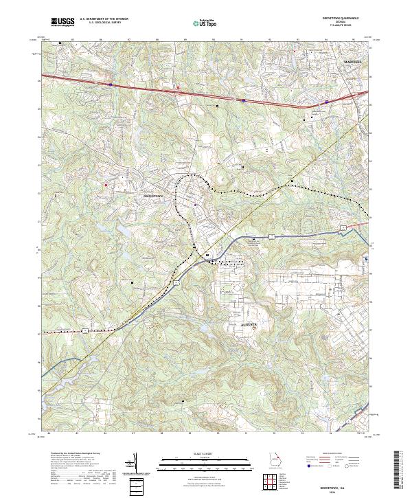
Fort Gordon dominates the southern landscape of this region, where the military installation meets the growing residential corridors of Grovetown and Martinez. The terrain is defined by a dense network of tributaries including Butler Creek, Spirit Creek, and Uchee Creek, which feed into numerous small bodies of water like Wells Lake and Cawley Lake. This modern geography reflects the transition between suburban expansion and the managed wooded areas of the military reservation.
Find a feature on this map
57 named features on this map. Tap any name to fly to it.
Don’t see what you’re looking for? This feature index may not catch every label — zoom into the map to look around manually.
Map Details
Editions of this 2024 Grovetown Map
This is the sole edition of this map. No revisions or reprints were ever made.
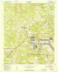
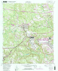
Historical Maps of Augusta Through Time
7 maps found