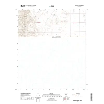
2020 Map of Guadalupe Pass
USGS Topo · Published 2020About this map
Guadalupe Pass serves as a critical topographic break in the high desert, positioned where the Guadalupe Mountains meet the Peloncillo Mountains along the international border. This modern survey delineates the boundary between the United States and Mexico, capturing a landscape defined by arroyos and isolated water sources. The mapping of Clark Tank, Corral Tank, and Garcia Tank underscores the importance of water management in this arid ranching environment. While the southern half of the map extends into Mexico, the northern portion follows the rectangular survey system of Hidalgo County, New Mexico, showing the transition from mountain slopes to the alluvial fans of the desert floor.
Find a feature on this map
9 named features on this map. Tap any name to fly to it.
Don’t see what you’re looking for? This feature index may not catch every label — zoom into the map to look around manually.
Map Details
Editions of this 2020 Guadalupe Pass Map
This is the sole edition of this map. No revisions or reprints were ever made.
Other maps of this area
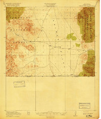
1918 · Cienega Springs
USGS Topo · 1:62,500
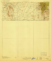
1919 · Perilla
USGS Topo · 1:125,000
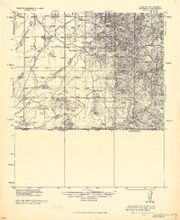
1922 · McDonald
USGS Topo · 1:62,500
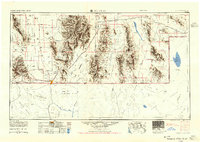
1955 · Douglas
USGS Topo · 1:250,000
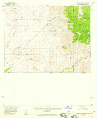
1958 · Guadalupe Canyon
USGS Topo · 1:62,500
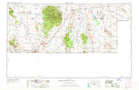
1959 · Douglas
USGS Topo · 1:250,000
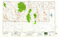
1961 · Douglas
USGS Topo · 1:250,000
1964 · Douglas
USGS Topo · 1:250,000
1982 · Fitzpatricks
USGS Topo · 1:24,000
1982 · Black Point
USGS Topo · 1:24,000