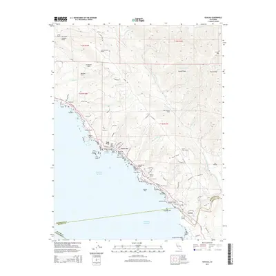
2015 Map of Gualala
USGS Topo · Published 2015About this map
The Gualala River meets the Pacific Ocean at the southern edge of this Mendocino County coastal survey, marking the boundary with Sonoma County. The town of Gualala serves as a primary hub along Highway 1, while smaller settlements like Anchor Bay and Fish Rock dot the shoreline to the north. This segment of the California coast is defined by its dramatic geological features, including the visible line of the San Andreas Fault which trends parallel to the coast, and prominent landmarks such as Havens Neck and Sail Rock.
Find a feature on this map
92 named features on this map. Tap any name to fly to it.
Don’t see what you’re looking for? This feature index may not catch every label — zoom into the map to look around manually.
Map Details
Editions of this 2015 Gualala Map
This is the sole edition of this map. No revisions or reprints were ever made.
Other maps of this area
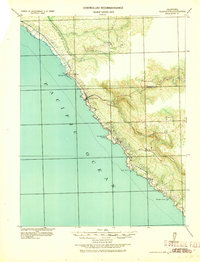
1921 · Plantation
USGS Topo · 1:62,500
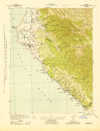
1943 · Point Arena
USGS Topo · 1:62,500
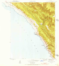
1943 · Stewarts Point
USGS Topo · 1:24,000
1943 · Ornbaun
USGS Topo · 1:62,500
1944 · Stewarts Point
USGS Topo · 1:31,680
1944 · Ornbaun
USGS Topo · 1:62,500
1947 · Santa Rosa
USGS Topo · 1:250,000
1949 · Santa Rosa
USGS Topo · 1:250,000
1958 · Santa Rosa
USGS Topo · 1:250,000
1960 · Saunders Reef
USGS Topo · 1:24,000