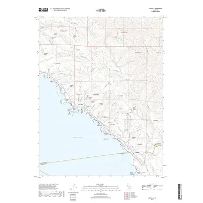
2018 Map of Gualala
USGS Topo · Published 2018About this map
The Gualala River meets the coastline in this Mendocino County survey, where the San Andreas Fault cuts a distinct northwest-southeast line across the landscape. The settlement of Gualala sits at the southern edge of the quadrangle near the Sonoma County line, while smaller coastal clusters like Anchor Bay and Fish Rock follow the path of the Old Hwy 1. The map reveals a history of land use and transit, with the Old Stage Rd winding inland away from the rocky bluffs and sea stacks.
Find a feature on this map
91 named features on this map. Tap any name to fly to it.
Don’t see what you’re looking for? This feature index may not catch every label — zoom into the map to look around manually.
Map Details
Editions of this 2018 Gualala Map
This is the sole edition of this map. No revisions or reprints were ever made.
Other maps of this area

1921 · Plantation
USGS Topo · 1:62,500

1943 · Point Arena
USGS Topo · 1:62,500

1943 · Stewarts Point
USGS Topo · 1:24,000

1943 · Ornbaun
USGS Topo · 1:62,500

1944 · Stewarts Point
USGS Topo · 1:31,680

1944 · Ornbaun
USGS Topo · 1:62,500

1947 · Santa Rosa
USGS Topo · 1:250,000

1949 · Santa Rosa
USGS Topo · 1:250,000

1958 · Santa Rosa
USGS Topo · 1:250,000

1960 · Saunders Reef
USGS Topo · 1:24,000