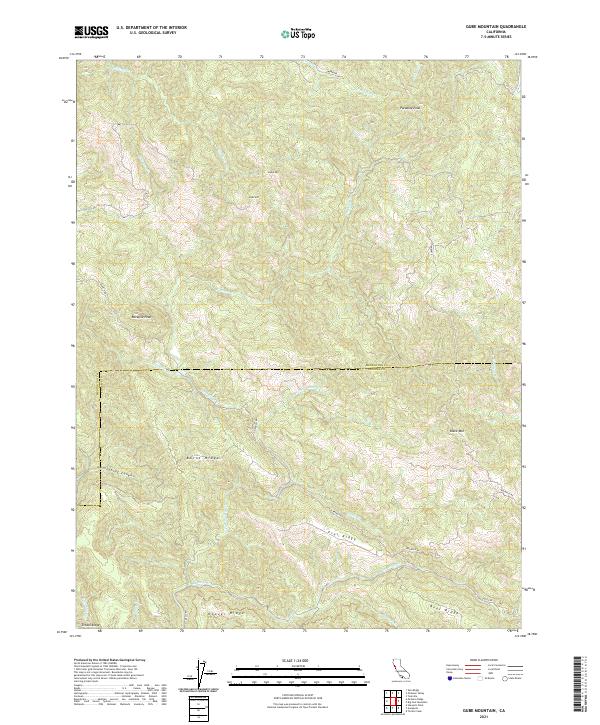
2021 Map of Gube Mountain
USGS Topo · Published 2021About this map
Pardaloe Peak and Gube Mtn anchor the high country of the California Coast Ranges along the boundary of Mendocino and Sonoma counties. This terrain is defined by a series of parallel northwest-southeast trending ridges, including Burnt Ridge, Hoover Ridge, and Flat Ridge, which separate deeply incised drainage systems. The hydrography is dominated by Rockpile Cr and Buckeye Cr, with numerous tributaries like N Fork Buckeye Cr and Flat Ridge Cr cutting through the landscape.
Find a feature on this map
34 named features on this map. Tap any name to fly to it.
Don’t see what you’re looking for? This feature index may not catch every label — zoom into the map to look around manually.
Map Details
Editions of this 2021 Gube Mountain Map
This is the sole edition of this map. No revisions or reprints were ever made.
Other maps of this area

1921 · Skaggs
USGS Topo · 1:62,500

1921 · Plantation
USGS Topo · 1:62,500

1938 · Hopland
USGS Topo · 1:62,500

1943 · Tombs Creek
USGS Topo · 1:24,000

1943 · Stewarts Point
USGS Topo · 1:24,000

1943 · Annapolis
USGS Topo · 1:24,000

1943 · Hopland
USGS Topo · 1:62,500

1943 · Ornbaun
USGS Topo · 1:62,500

1944 · Annapolis
USGS Topo · 1:31,680

1944 · Stewarts Point
USGS Topo · 1:31,680