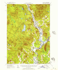
1956 Map of Guildhall
USGS Topo · Published 1957About this map
Maidstone State Forest and the winding course of the Connecticut River anchor this mid-century topographic record of the Upper Vermont and New Hampshire borderlands. The landscape is defined by its industrial and transport arteries, notably the Grand Trunk and Maine Central railroads that connected the timbered highlands to southern markets. Along the river, settlements like North Stratford and Groveton developed around the confluence of the Upper Ammonoosuc River and local brooks, supported by infrastructure such as Browns Mill and the Walker Dam. The interior terrain is a dense network of peaks and water bodies, including Maidstone Lake and the wetlands of Ferdinand Bog. Local history is preserved through the mapping of the Central Sch and several Cem locations, alongside functional landmarks like the Fire Tower on West Mountain, which provided essential surveillance over the timber-heavy terrain of Essex and Coos counties.
Find a feature on this map
123 named features on this map. Tap any name to fly to it.
Don’t see what you’re looking for? This feature index may not catch every label — zoom into the map to look around manually.
Map Details
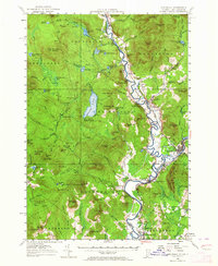
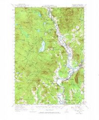
Editions of this 1956 Guildhall Map
3 editions found
Other maps of this area

1893 · Mt. Washington
USGS Topo · 1:62,500

1896 · Mt. Washington
USGS Topo · 1:62,500

1900 · Whitefield
USGS Topo · 1:62,500

1920 · Guildhall
USGS Topo · 1:62,500

1924 · Island Pond
USGS Topo · 1:48,000

1926 · Island Pond
USGS Topo · 1:62,500

1929 · Averill
USGS Topo · 1:62,500

1930 · Percy
USGS Topo · 1:62,500

1930 · Dixville
USGS Topo · 1:62,500

1931 · Guildhall
USGS Topo · 1:48,000