
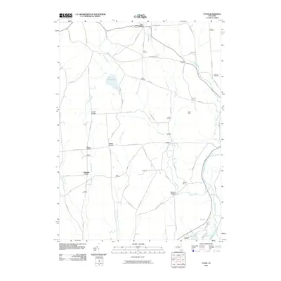
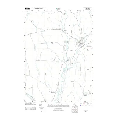
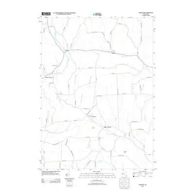
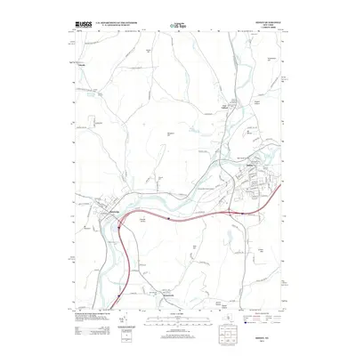
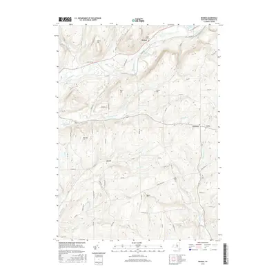
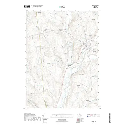
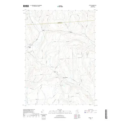
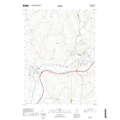
2024 Map of Guilford
USGS Topo · Published 2024About this map
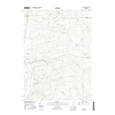
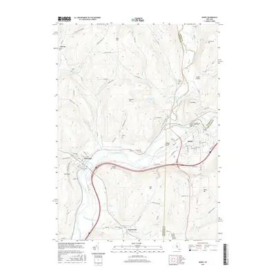
The Unadilla River forms a natural eastern boundary for this part of Chenango County, winding past several small riverside communities. Rockwells Mills and Mount Upton sit along the riverbanks, reflecting a landscape where water power and valley transit once anchored local life. Further west, the terrain rises into hills such as Shumway Hill and Breffel Hill, where more isolated hamlets like Ives Settlement and Parker are situated among the headwaters of Guilford Creek and Kent Brook.
Find a feature on this map
88 named features on this map. Tap any name to fly to it.
Don’t see what you’re looking for? This feature index may not catch every label — zoom into the map to look around manually.
Map Details
Editions of this 2024 Guilford Map
This is the sole edition of this map. No revisions or reprints were ever made.
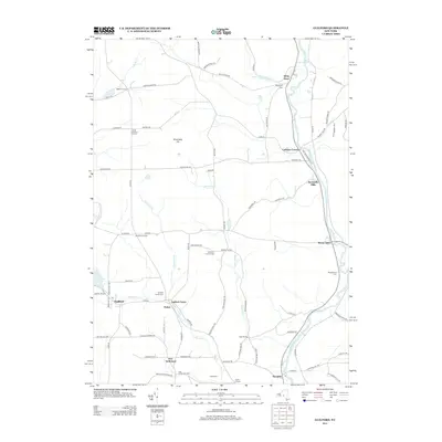
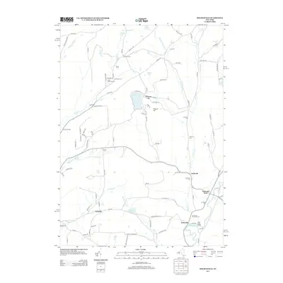
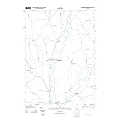
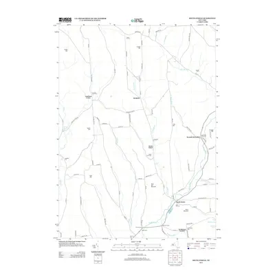
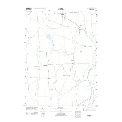
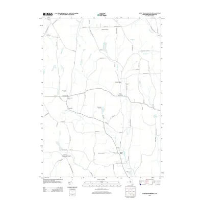
Historical Maps of Unadilla Through Time
105 maps found

1902 Oxford
Chenango County, NY

1904 Greene
Chenango County, NY

1904 Oxford
Chenango County, NY

1910 New Berlin
Chenango County, NY

1912 New Berlin
Chenango County, NY

1915 Unadilla
Chenango County, NY

1918 Unadilla
Chenango County, NY

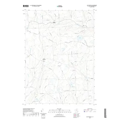
1943 East Pharsalia
Chenango County, NY

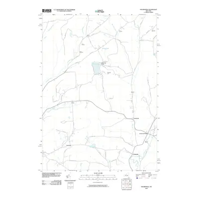
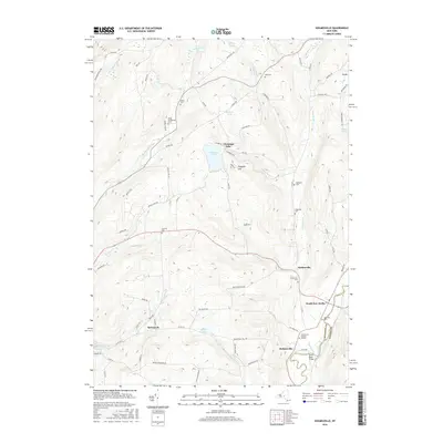
1943 Guilford
Chenango County, NY

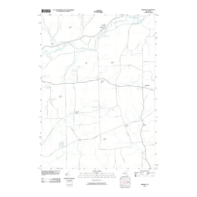
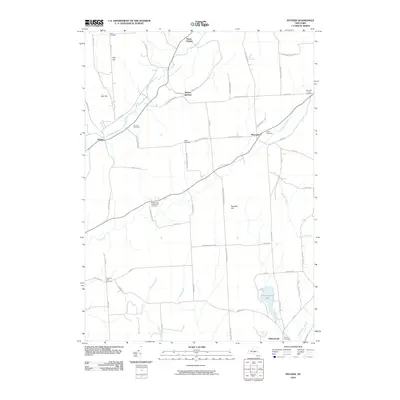
1943 Holmesville
Chenango County, NY

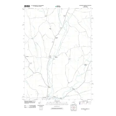
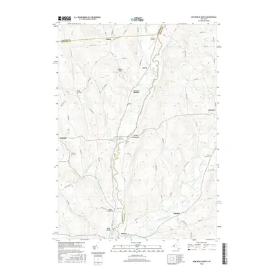
1943 New Berlin North
Chenango County, NY

1943 Otselic
Chenango County, NY

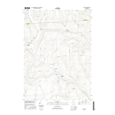
1943 Pitcher
Chenango County, NY

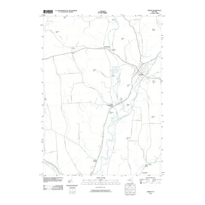
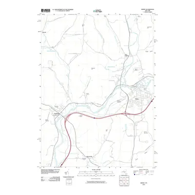
1943 Sherburne
Chenango County, NY

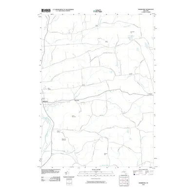
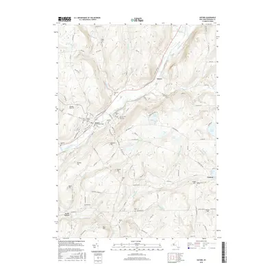
1943 Sidney
Chenango County, NY

1943 South Otselic
Chenango County, NY

1944 East Pharsalia
Chenango County, NY

1944 Otselic
Chenango County, NY

1944 Pitcher
Chenango County, NY

1944 South Ostelic
Chenango County, NY

1945 Guilford
Chenango County, NY

1945 Holmesville
Chenango County, NY

1945 New Berlin North
Chenango County, NY

1945 Sherburne
Chenango County, NY

1945 Sidney
Chenango County, NY

1948 Greene
Chenango County, NY

1949 Brisben
Chenango County, NY

1949 Oxford
Chenango County, NY

1949 Tyner
Chenango County, NY

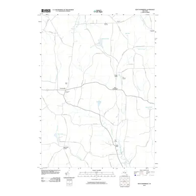
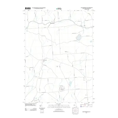
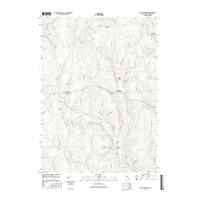
1949 West Bainbridge
Chenango County, NY

1950 Greene
Chenango County, NY

1951 Brisben
Chenango County, NY

1951 Oxford
Chenango County, NY

1951 Tyner
Chenango County, NY

1951 West Bainbridge
Chenango County, NY
2010 Brisben
Chenango County, NY
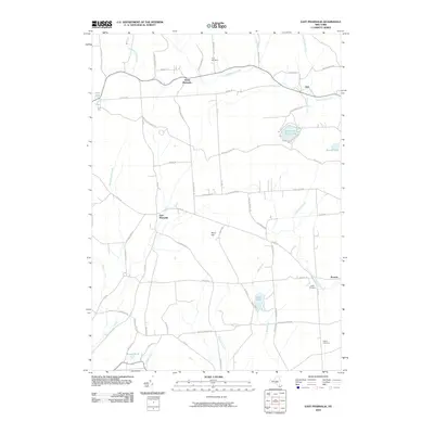
2010 East Pharsalia
Chenango County, NY
2010 Greene
Chenango County, NY
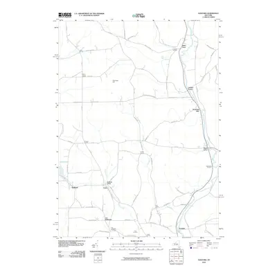
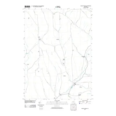
2010 Guilford
Chenango County, NY
2010 Holmesville
Chenango County, NY
2010 New Berlin North
Chenango County, NY
2010 Otselic
Chenango County, NY
2010 Oxford
Chenango County, NY
2010 Pitcher
Chenango County, NY
2010 Sherburne
Chenango County, NY
2010 Sidney
Chenango County, NY
2010 South Otselic
Chenango County, NY
2010 Tyner
Chenango County, NY
2010 West Bainbridge
Chenango County, NY
2013 Brisben
Chenango County, NY
2013 East Pharsalia
Chenango County, NY
2013 Greene
Chenango County, NY
2013 Guilford
Chenango County, NY
2013 Holmesville
Chenango County, NY
2013 New Berlin North
Chenango County, NY
2013 Otselic
Chenango County, NY
2013 Oxford
Chenango County, NY
2013 Pitcher
Chenango County, NY
2013 Sherburne
Chenango County, NY
2013 Sidney
Chenango County, NY
2013 South Otselic
Chenango County, NY
2013 Tyner
Chenango County, NY
2013 West Bainbridge
Chenango County, NY
2016 Brisben
Chenango County, NY
2016 East Pharsalia
Chenango County, NY
2016 Greene
Chenango County, NY
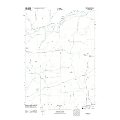
2016 Guilford
Chenango County, NY
2016 Holmesville
Chenango County, NY
2016 New Berlin North
Chenango County, NY
2016 Otselic
Chenango County, NY
2016 Oxford
Chenango County, NY
2016 Pitcher
Chenango County, NY
2016 Sherburne
Chenango County, NY
2016 Sidney
Chenango County, NY
2016 South Otselic
Chenango County, NY
2016 Tyner
Chenango County, NY
2016 West Bainbridge
Chenango County, NY
2019 Brisben
Chenango County, NY
2019 East Pharsalia
Chenango County, NY
2019 Greene
Chenango County, NY
2019 Guilford
Chenango County, NY
2019 Holmesville
Chenango County, NY
2019 New Berlin North
Chenango County, NY
2019 Otselic
Chenango County, NY
2019 Oxford
Chenango County, NY
2019 Pitcher
Chenango County, NY
2019 Sherburne
Chenango County, NY
2019 Sidney
Chenango County, NY
2019 South Otselic
Chenango County, NY
2019 Tyner
Chenango County, NY
2019 West Bainbridge
Chenango County, NY

2023 Brisben
Chenango County, NY

2023 East Pharsalia
Chenango County, NY

2023 Greene
Chenango County, NY

2023 Holmesville
Chenango County, NY

2023 New Berlin North
Chenango County, NY

2023 Otselic
Chenango County, NY

2023 Oxford
Chenango County, NY

2023 Pitcher
Chenango County, NY

2023 Sherburne
Chenango County, NY

2023 Sidney
Chenango County, NY

2023 South Otselic
Chenango County, NY

2023 Tyner
Chenango County, NY

2023 West Bainbridge
Chenango County, NY
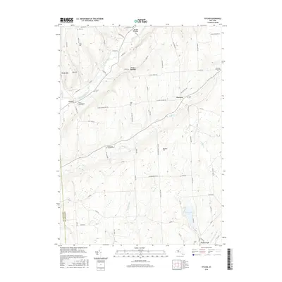
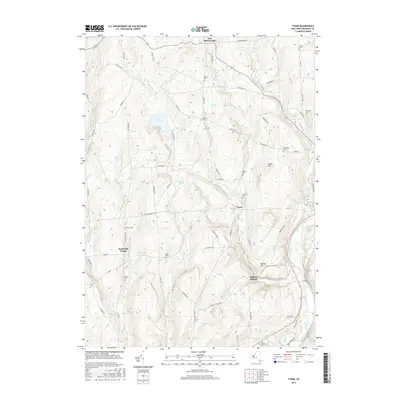
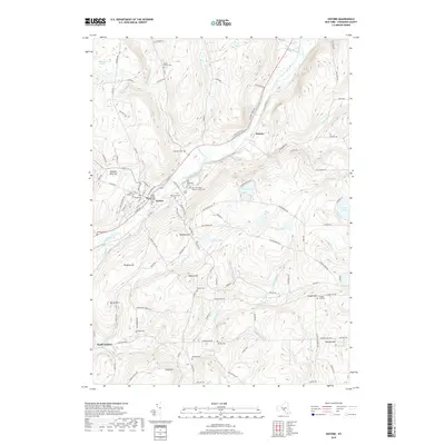
2024 Guilford
Chenango County, NY