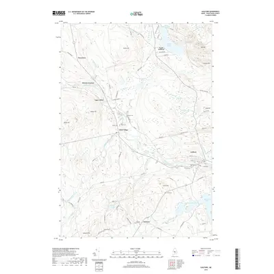
2018 Map of Guilford
USGS Topo · Published 2018About this map
The Piscataquis River flows through the heart of this Piscataquis County landscape, anchoring the historic communities of Abbot Village and Guilford. This 2018 survey provides a modern view of a region defined by its narrow river valleys and numerous family-named landmarks. Genealogists will find a high concentration of burial sites, including the Abbot Village Cem, Elmwood Cem, and the small French's Cem near French Hill. The settlement pattern follows the water, with Upper Abbot and Monson Junction positioned near the confluence of the river and Kingsbury Stream. Further south, the town of Parkman is marked by the Parkman Corner Cem, while to the north, the terrain rises toward Faunce Hill and Oak Hill. The map also captures the ecological character of the area through features like Fairbrother Bog and Robinson Bog, which sit between the river and the northern peaks.
Find a feature on this map
82 named features on this map. Tap any name to fly to it.
Don’t see what you’re looking for? This feature index may not catch every label — zoom into the map to look around manually.
Map Details
Editions of this 2018 Guilford Map
This is the sole edition of this map. No revisions or reprints were ever made.
Other maps of this area

1933 · Guilford
USGS Topo · 1:62,500

1937 · Guilford
USGS Topo · 1:62,500

1948 · Kingsbury
USGS Topo · 1:62,500

1950 · Kingsbury
USGS Topo · 1:62,500

1950 · Sebec Lake
USGS Topo · 1:62,500

1951 · Greenville
USGS Topo · 1:62,500

1954 · Millinocket
USGS Topo · 1:250,000

1958 · Millinocket
USGS Topo · 1:250,000

1960 · Millinocket
USGS Topo · 1:250,000

1975 · Kingsbury NE
USGS Topo · 1:24,000