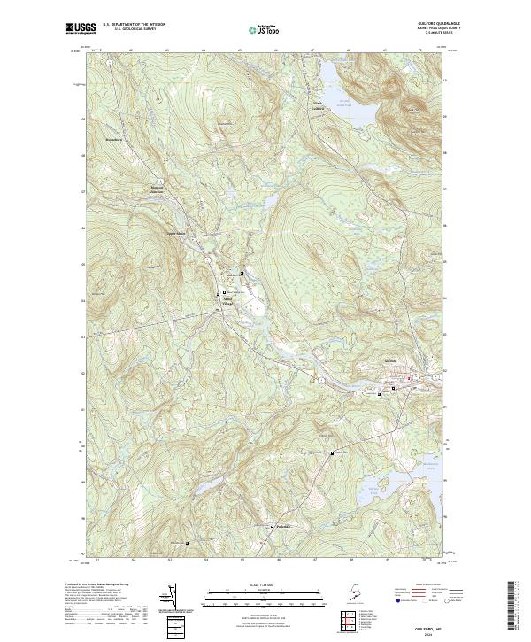
2024 Map of Guilford
USGS Topo · Published 2024About this map
Guilford and Abbot Village anchor this landscape where the Piscataquis River meets a network of small streams and glacial ponds. The region is defined by its industrial and agricultural legacy, visible in the Old Railroad Grade that cuts through Upper Abbot and the cluster of cemeteries that dot the hillsides, including Elmwood Cem and Abbot Village Cem. The terrain rises from the river valley to prominent heights like Guilford Mtn and Faunce Hill, while the lowlands are marked by extensive wetlands such as Robinson Bog and Fairbrother Bog.
Find a feature on this map
94 named features on this map. Tap any name to fly to it.
Don’t see what you’re looking for? This feature index may not catch every label — zoom into the map to look around manually.
Map Details
Editions of this 2024 Guilford Map
This is the sole edition of this map. No revisions or reprints were ever made.
Other maps of this area

1933 · Guilford
USGS Topo · 1:62,500

1937 · Guilford
USGS Topo · 1:62,500

1948 · Kingsbury
USGS Topo · 1:62,500

1950 · Kingsbury
USGS Topo · 1:62,500

1950 · Sebec Lake
USGS Topo · 1:62,500

1951 · Greenville
USGS Topo · 1:62,500

1954 · Millinocket
USGS Topo · 1:250,000

1958 · Millinocket
USGS Topo · 1:250,000

1960 · Millinocket
USGS Topo · 1:250,000

1975 · Kingsbury NE
USGS Topo · 1:24,000