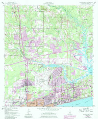
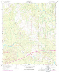
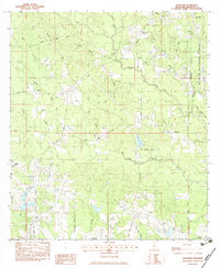
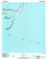
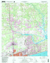
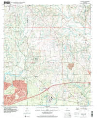
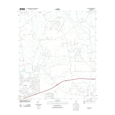
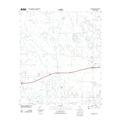
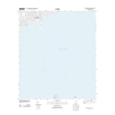
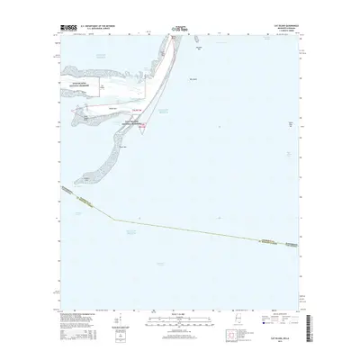
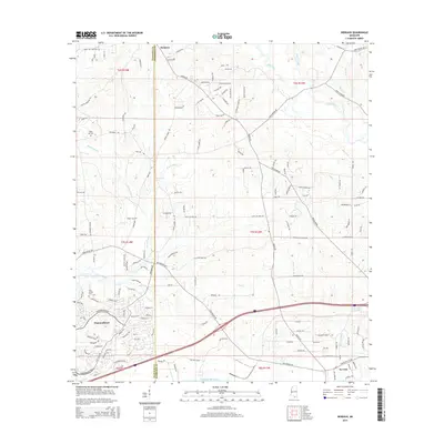
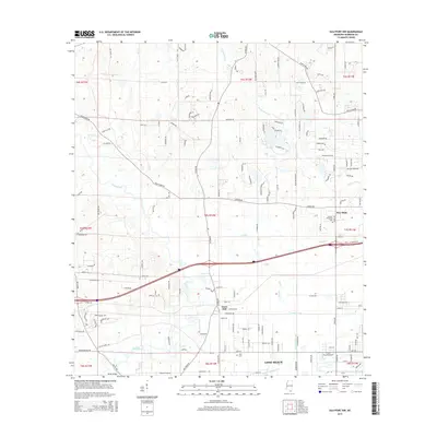
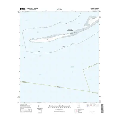
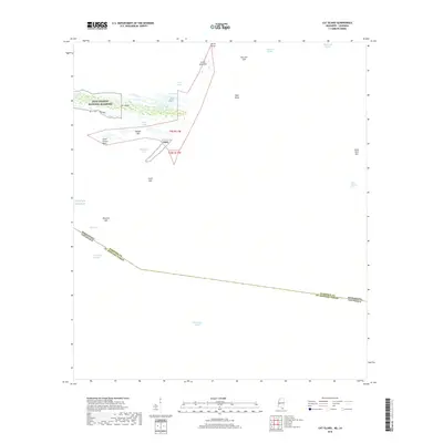
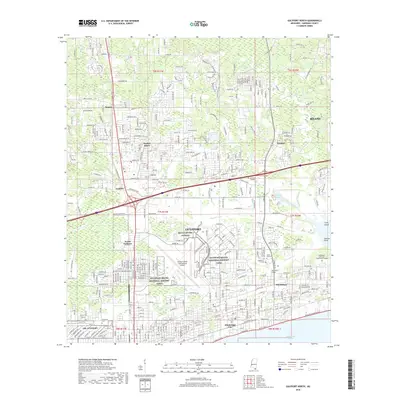
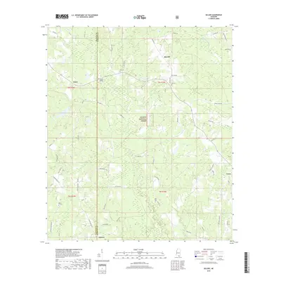
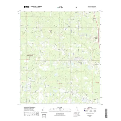
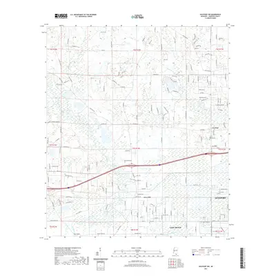
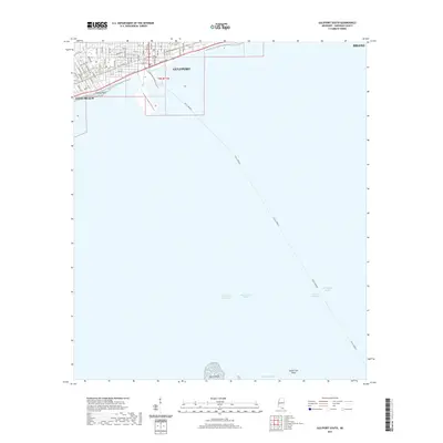
1994 Map of Gulfport South
USGS Topo · Published 1995About this map
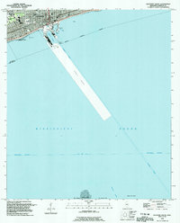
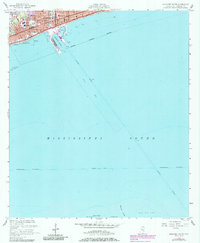
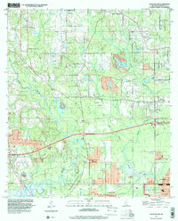
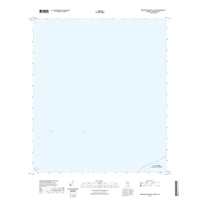
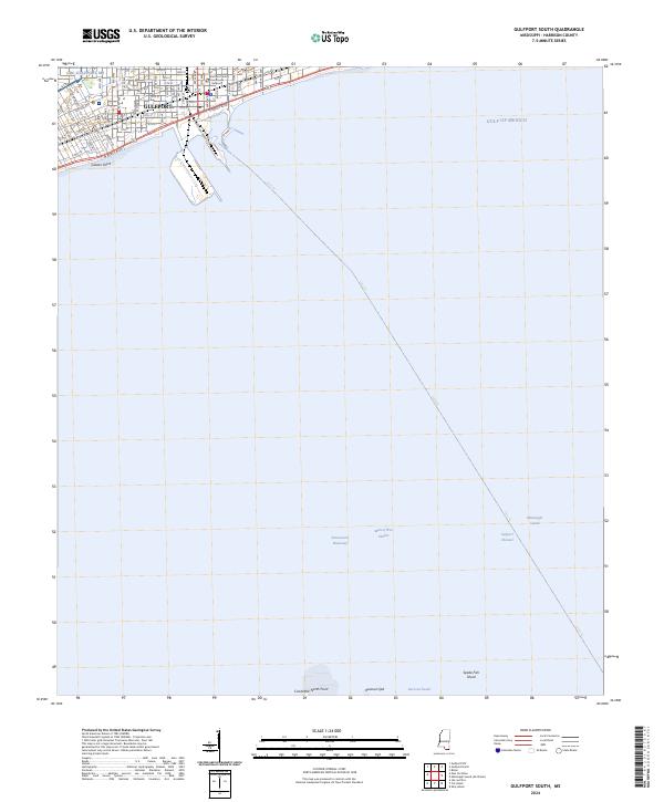
The Gulfport Harbor serves as the focal point for this maritime survey, showcasing the deep-water Gulfport Channel cutting through the Mississippi Sound. The industrial and commercial waterfront is clearly defined, featuring Wharf 2 Lights and multiple offshore Platforms that mark the gateway to the Gulf. In the residential and urban areas north of Beach Blvd, a dense network of civic institutions appears, including St Johns Ch, St Therese Acad, and the Gaston Point Sch.
Find a feature on this map
39 named features on this map. Tap any name to fly to it.
Don’t see what you’re looking for? This feature index may not catch every label — zoom into the map to look around manually.
Map Details
Editions of this 1994 Gulfport South Map
This is the sole edition of this map. No revisions or reprints were ever made.
Historical Maps of Gulfport Through Time
86 maps found
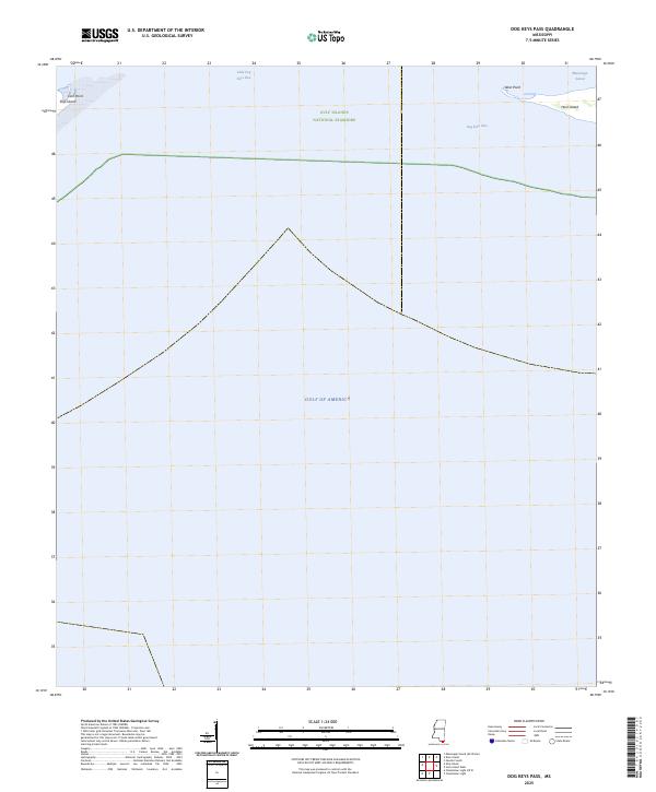
1950 Dog Keys Pass
Harrison County, MS
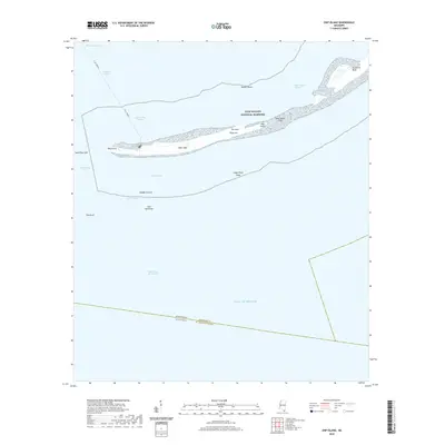
1950 Ship Island
Harrison County, MS
1951 Cat Island
Harrison County, MS

1954 Deer Island
Harrison County, MS
1954 Gulfport North
Harrison County, MS
1954 Gulfport South
Harrison County, MS
1954 McHenry
Harrison County, MS
1956 Gulfport NW
Harrison County, MS
1956 Vidalia
Harrison County, MS
1982 Sellers
Harrison County, MS
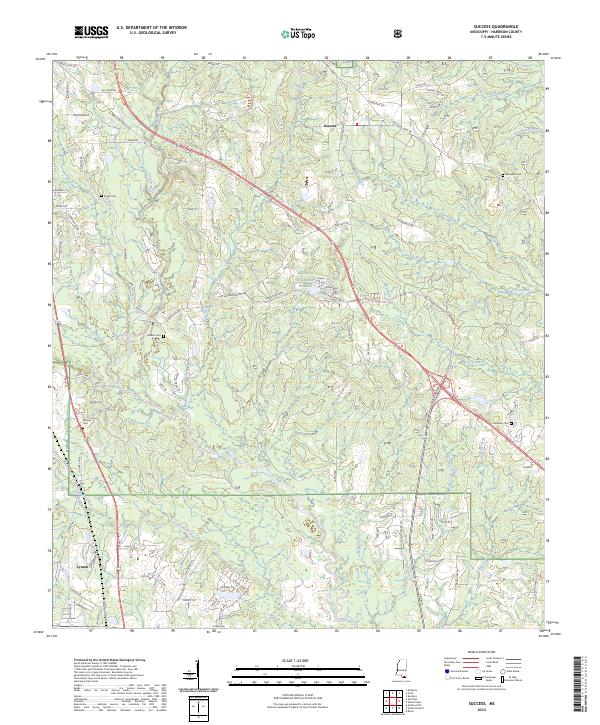
1982 Success
Harrison County, MS
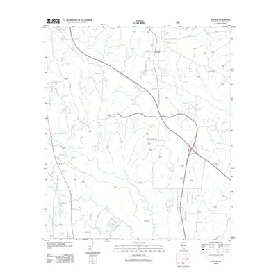
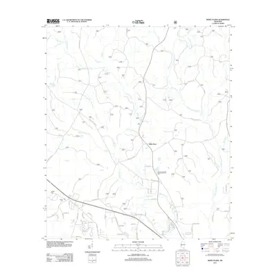
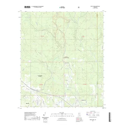
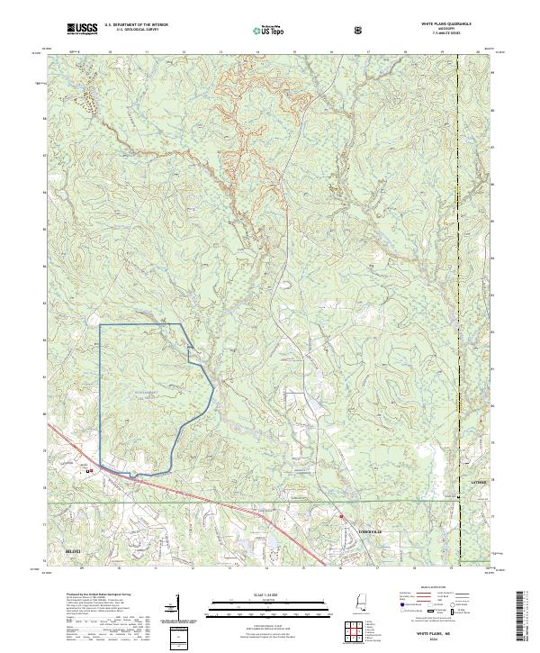
1982 White Plains
Harrison County, MS
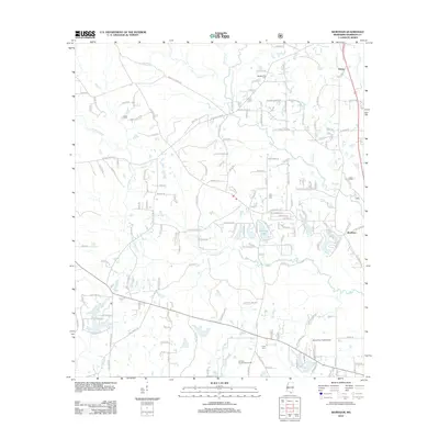
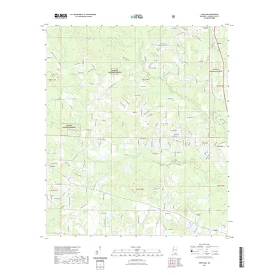
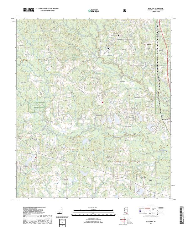
1983 Wortham
Harrison County, MS
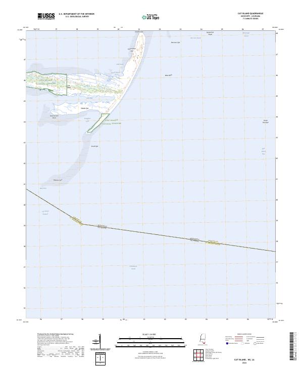
1994 Cat Island
Harrison County, MS
1994 Gulfport North
Harrison County, MS
1994 Gulfport South
Harrison County, MS
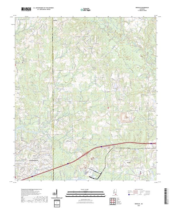
1997 Dedeaux
Harrison County, MS
1997 Gulfport NW
Harrison County, MS
2000 Success
Harrison County, MS
2000 Wortham
Harrison County, MS
2012 Cat Island
Harrison County, MS
2012 Dedeaux
Harrison County, MS
2012 Deer Island
Harrison County, MS
2012 Dog Keys Pass
Harrison County, MS
2012 Gulfport North
Harrison County, MS
2012 Gulfport NW
Harrison County, MS
2012 Gulfport South
Harrison County, MS
2012 Sellers
Harrison County, MS
2012 Ship Island
Harrison County, MS
2012 Success
Harrison County, MS
2012 White Plains
Harrison County, MS
2012 Wortham
Harrison County, MS
2015 Cat Island
Harrison County, MS
2015 Dedeaux
Harrison County, MS
2015 Deer Island
Harrison County, MS
2015 Dog Keys Pass
Harrison County, MS
2015 Gulfport North
Harrison County, MS
2015 Gulfport NW
Harrison County, MS
2015 Gulfport South
Harrison County, MS
2015 Mississippi Sound (All Water)
Harrison County, MS
2015 Sellers
Harrison County, MS
2015 Ship Island
Harrison County, MS
2015 Success
Harrison County, MS
2015 White Plains
Harrison County, MS
2015 Wortham
Harrison County, MS
2018 Cat Island
Harrison County, MS
2018 Dedeaux
Harrison County, MS
2018 Deer Island
Harrison County, MS
2018 Dog Keys Pass
Harrison County, MS
2018 Gulfport North
Harrison County, MS
2018 Gulfport NW
Harrison County, MS
2018 Gulfport South
Harrison County, MS
2018 Mississippi Sound (All Water)
Harrison County, MS
2018 Sellers
Harrison County, MS
2018 Ship Island
Harrison County, MS
2018 Success
Harrison County, MS
2018 White Plains
Harrison County, MS
2018 Wortham
Harrison County, MS
2020 Cat Island
Harrison County, MS
2020 Deer Island
Harrison County, MS
2020 Dog Keys Pass
Harrison County, MS
2020 Mississippi Sound (All Water)
Harrison County, MS
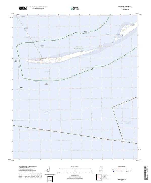
2020 Ship Island
Harrison County, MS
2021 Dedeaux
Harrison County, MS
2021 Gulfport North
Harrison County, MS
2021 Gulfport NW
Harrison County, MS
2021 Gulfport South
Harrison County, MS
2021 Sellers
Harrison County, MS
2021 Success
Harrison County, MS
2021 White Plains
Harrison County, MS
2021 Wortham
Harrison County, MS
2024 Cat Island
Harrison County, MS
2024 Dedeaux
Harrison County, MS
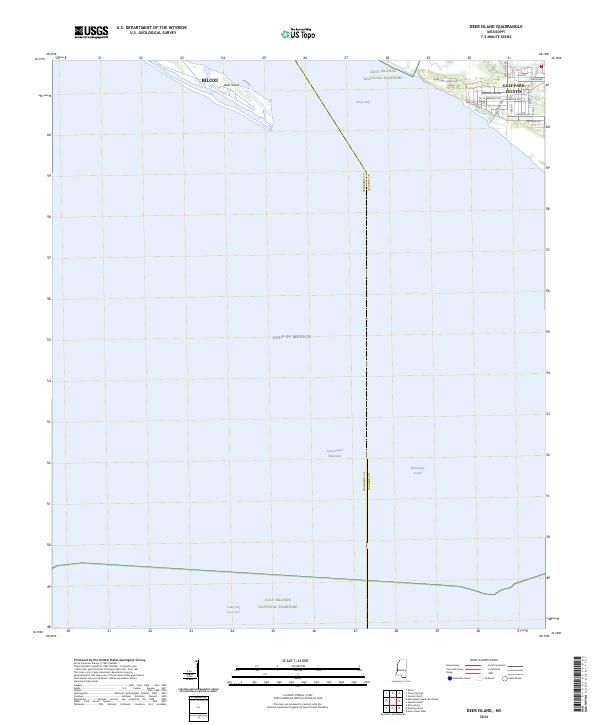
2024 Deer Island
Harrison County, MS
2024 Dog Keys Pass
Harrison County, MS
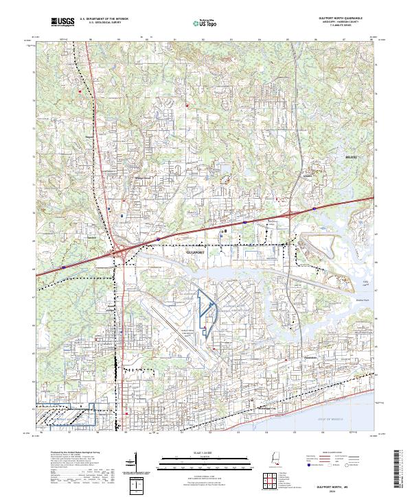
2024 Gulfport North
Harrison County, MS
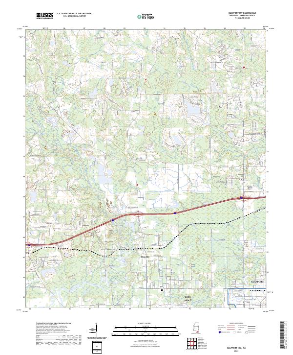
2024 Gulfport NW
Harrison County, MS
2024 Gulfport South
Harrison County, MS
2024 Mississippi Sound (All Water)
Harrison County, MS
2024 Sellers
Harrison County, MS
2024 Ship Island
Harrison County, MS
2024 Success
Harrison County, MS
2024 White Plains
Harrison County, MS
2024 Wortham
Harrison County, MS
2025 Dog Keys Pass
Harrison County, MS
2025 Ship Island
Harrison County, MS