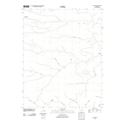
2010 Map of Gulnare
USGS Topo · Published 2010About this map
The Apishapa River winds through this landscape of deep-cut canyons and high passes, where the small settlement of Gulnare sits in the northeastern reaches. This 2010 survey reveals a terrain defined by complex water systems, notably the Upper Reservoir Number 4 Dam and the various forks of Trujillo Creek to the north. The geography is characterized by numerous named drainages, including Luis Canyon, Mitotes Canyon, and Jarosa Canyon, each reflecting the distinct topographical character of the Las Animas County region.
Find a feature on this map
22 named features on this map. Tap any name to fly to it.
Don’t see what you’re looking for? This feature index may not catch every label — zoom into the map to look around manually.
Map Details
Editions of this 2010 Gulnare Map
This is the sole edition of this map. No revisions or reprints were ever made.
Other maps of this area

1891 · Spanish Peaks
USGS Topo · 1:125,000

1893 · Spanish Peaks
USGS Topo · 1:125,000

1895 · Spanish Peaks
USGS Topo · 1:125,000

1897 · Spanish Peaks
USGS Topo · 1:125,000

1900 · Spanish Peaks
USGS Topo · 1:125,000

1951 · Madrid
USGS Topo · 1:24,000

1954 · Trinidad
USGS Topo · 1:250,000

1955 · Trinidad
USGS Topo · 1:250,000

1958 · Trinidad
USGS Topo · 1:250,000

1959 · Trinidad
USGS Topo · 1:250,000