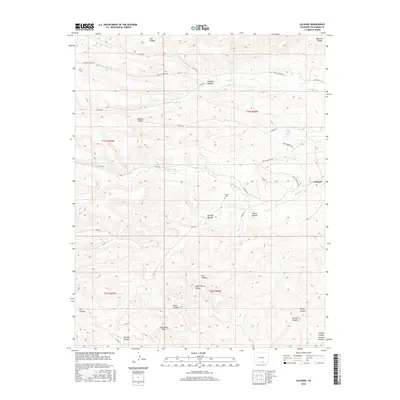
2016 Map of Gulnare
USGS Topo · Published 2016About this map
The Apishapa River cuts through this high-altitude landscape, anchoring the small settlement of Gulnare. The terrain is defined by a dense network of drainage systems, including Trujillo Cr and its various forks, alongside numerous named canyons such as Jarosa Canyon and Mitotes Canyon. This geography influenced the placement of local landmarks like the Jarosa Cem and the routes through the mountains, most notably at Cottontail Pass.
Find a feature on this map
43 named features on this map. Tap any name to fly to it.
Don’t see what you’re looking for? This feature index may not catch every label — zoom into the map to look around manually.
Map Details
Editions of this 2016 Gulnare Map
This is the sole edition of this map. No revisions or reprints were ever made.
Other maps of this area
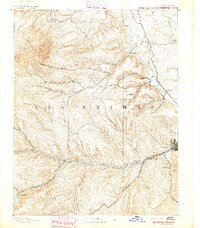
1891 · Spanish Peaks
USGS Topo · 1:125,000
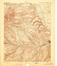
1893 · Spanish Peaks
USGS Topo · 1:125,000
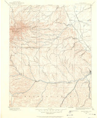
1895 · Spanish Peaks
USGS Topo · 1:125,000
1897 · Spanish Peaks
USGS Topo · 1:125,000
1900 · Spanish Peaks
USGS Topo · 1:125,000
1951 · Madrid
USGS Topo · 1:24,000
1954 · Trinidad
USGS Topo · 1:250,000
1955 · Trinidad
USGS Topo · 1:250,000
1958 · Trinidad
USGS Topo · 1:250,000
1959 · Trinidad
USGS Topo · 1:250,000