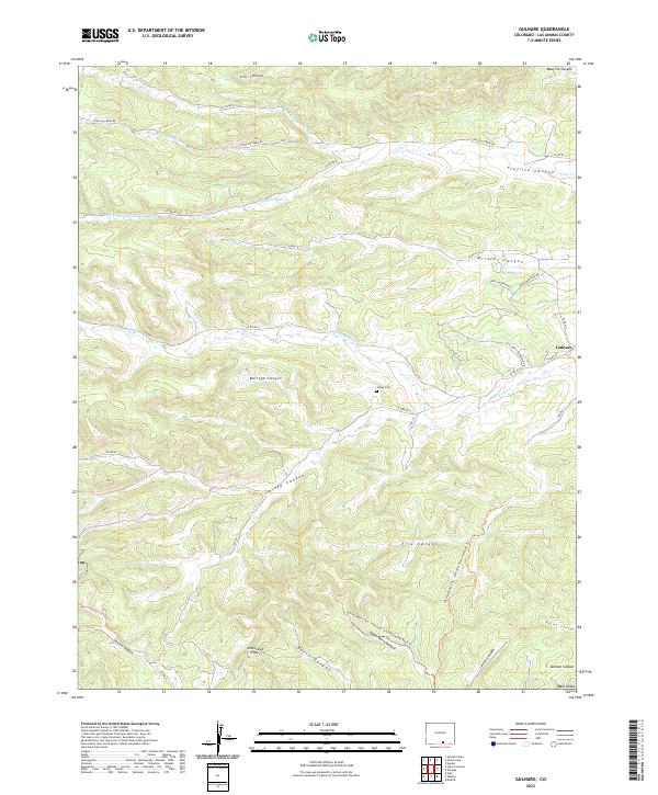
2022 Map of Gulnare
USGS Topo · Published 2022About this map
Gulnare sits at the foot of the western foothills in Las Animas County, where the plains begin to rise toward the high peaks. The landscape is defined by a dense network of drainages and passes, most notably Cottontail Pass and the winding course of the Apishapa River. Settlement is sparse, with activity concentrated along rural routes like Trujillo Creek Rd and the clusters of homes around Mitotes Lake. The map reveals a land structured by its geography, with naming conventions rooted in family and local history, as seen in Jarosa Canyon and the Jarosa Cem. This area serves as a gateway to the Spanish Peaks wilderness, evidenced by the Spanish Peaks Swa - Oberosier Tract Northeast Trl. The convergence of 여러 forks of Trujillo Cr in the north highlights the importance of water management in this high-altitude environment.
Find a feature on this map
45 named features on this map. Tap any name to fly to it.
Don’t see what you’re looking for? This feature index may not catch every label — zoom into the map to look around manually.
Map Details
Editions of this 2022 Gulnare Map
This is the sole edition of this map. No revisions or reprints were ever made.
Other maps of this area

1891 · Spanish Peaks
USGS Topo · 1:125,000

1893 · Spanish Peaks
USGS Topo · 1:125,000

1895 · Spanish Peaks
USGS Topo · 1:125,000

1897 · Spanish Peaks
USGS Topo · 1:125,000

1900 · Spanish Peaks
USGS Topo · 1:125,000

1951 · Madrid
USGS Topo · 1:24,000

1954 · Trinidad
USGS Topo · 1:250,000

1955 · Trinidad
USGS Topo · 1:250,000

1958 · Trinidad
USGS Topo · 1:250,000

1959 · Trinidad
USGS Topo · 1:250,000