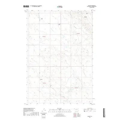
2017 Map of Gustave
USGS Topo · Published 2017About this map
Gustave serves as the focal point for this rural Harding County landscape, where the high plains transition into the dramatic topography of the West Short Pine Hills. The community footprint includes the Gustave Cem, a significant marker for local genealogical research. To the north, Harding Peak rises above the surrounding terrain, overlooking the drainage of Sawmill Gulch. The area's hydrology is defined by the S Fork Moreau River in the south and the winding courses of Bickerduke Cr and Forty-eight Mile Cr. Movement through this remote country is facilitated by Co Hwy 752 and Collins Rd, which connect the settlement of Sheep Draw to the broader ranching region. The map captures a sparsely populated section of South Dakota, where the interplay between intermittent water sources like Split Pine Spring and the rugged buttes dictates the pattern of human settlement.
Find a feature on this map
16 named features on this map. Tap any name to fly to it.
Don’t see what you’re looking for? This feature index may not catch every label — zoom into the map to look around manually.
Map Details
Editions of this 2017 Gustave Map
This is the sole edition of this map. No revisions or reprints were ever made.
Other maps of this area
1935 · Harding
USGS Topo · 1:125,000
1954 · Lemmon
USGS Topo · 1:250,000
1954 · Ekalaka
USGS Topo · 1:250,000
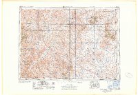
1956 · Ekalaka
USGS Topo · 1:250,000
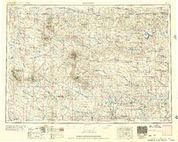
1957 · Lemmon
USGS Topo · 1:250,000
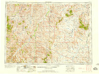
1958 · Ekalaka
USGS Topo · 1:250,000
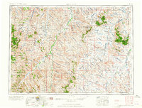
1965 · Ekalaka
USGS Topo · 1:250,000
1973 · Hells Canyon
USGS Topo · 1:24,000
1977 · Harding
USGS Topo · 1:24,000
1978 · J K Butte
USGS Topo · 1:24,000