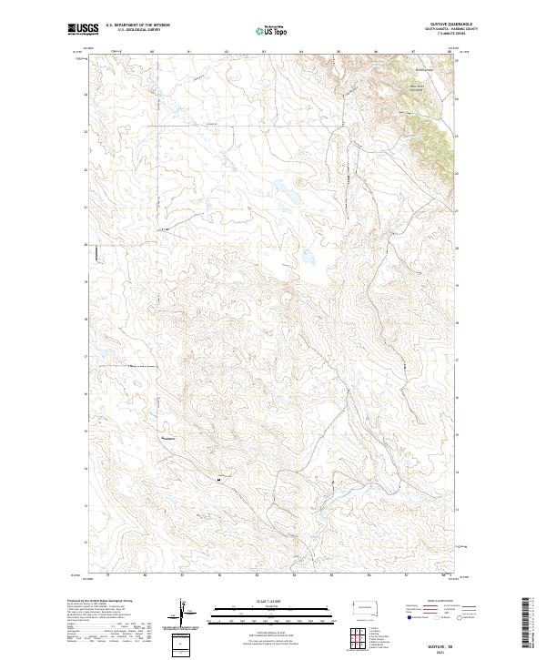
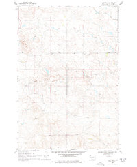
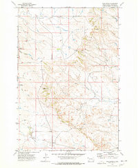
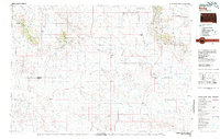
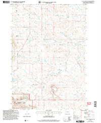
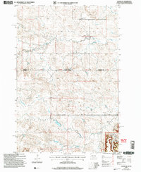
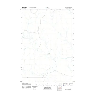
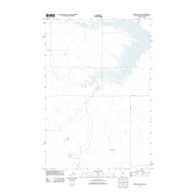
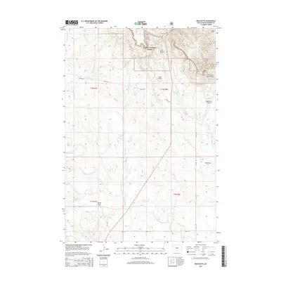
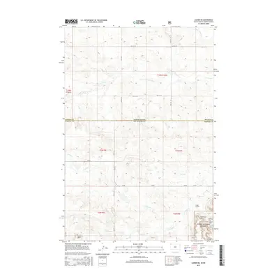
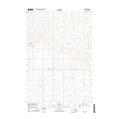
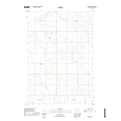
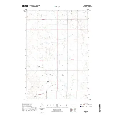
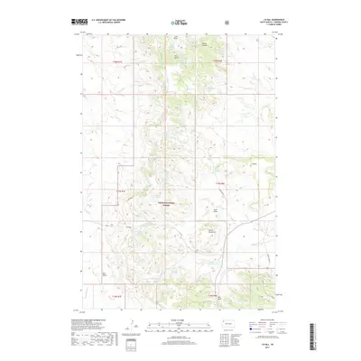
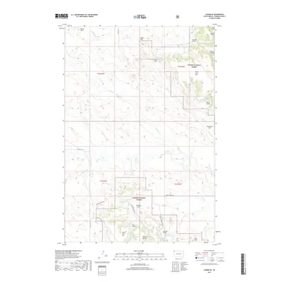
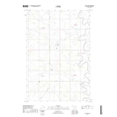
2021 Map of Gustave
USGS Topo · Published 2021About this map
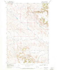
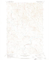
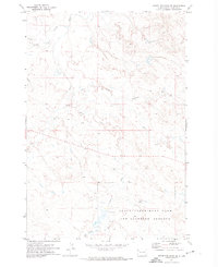
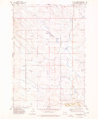
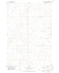
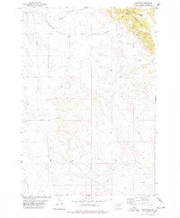
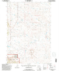
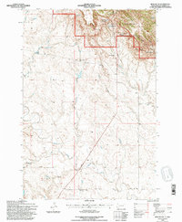
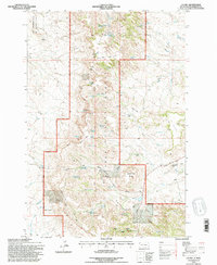
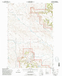
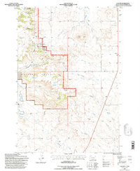
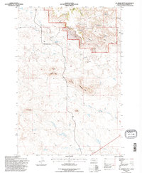
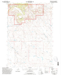
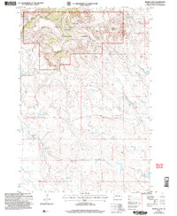
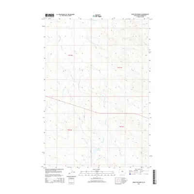
Gustave serves as the focal point of this remote corner of Harding County, where the plains meet the prominent elevations of the West Short Pine Hills. The landscape is defined by the drainage patterns of the S Fork Moreau River and Fortyeight Mile Cr, which cut through the high prairie. Local history is anchored at the Gustave Cem, while the rugged geography of the northwest is dominated by the looming presence of Harding Peak.
Find a feature on this map
16 named features on this map. Tap any name to fly to it.
Don’t see what you’re looking for? This feature index may not catch every label — zoom into the map to look around manually.
Map Details
Editions of this 2021 Gustave Map
This is the sole edition of this map. No revisions or reprints were ever made.
Historical Maps of Gustave Through Time
255 maps found

1935 Harding
Harding County, SD

1935 Hoover
Harding County, SD

1935 Reva
Harding County, SD
1968 Bowman-Haley Dam
Harding County, SD
1968 Eagles Nest Butte
Harding County, SD
1968 Flat Top Butte
Harding County, SD
1968 Haley
Harding County, SD
1968 Irish Butte
Harding County, SD
1968 J B Hill
Harding County, SD
1968 Ludlow
Harding County, SD
1968 Ludlow SE
Harding County, SD

1968 Ralph
Harding County, SD
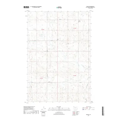
1968 Ralph SW
Harding County, SD
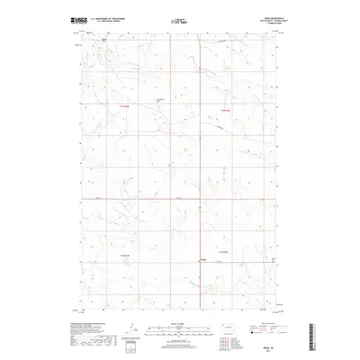
1968 Reva
Harding County, SD
1968 Sheep Mountain
Harding County, SD
1968 Tepee Buttes
Harding County, SD
1969 Battleship Rock
Harding County, SD
1969 Ladner
Harding County, SD
1969 Ladner NE
Harding County, SD
1969 Ladner SE
Harding County, SD
1969 Reva NE
Harding County, SD
1969 Reva NW
Harding County, SD
1969 Table Mountain
Harding County, SD
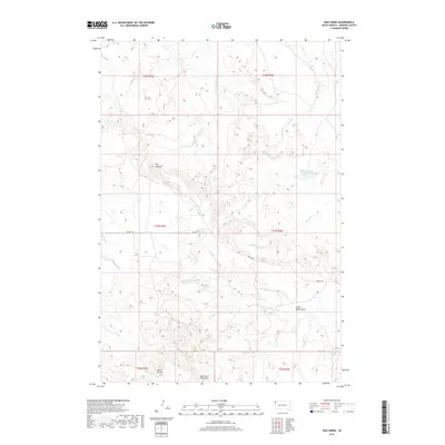
1971 Hay Creek
Harding County, SD
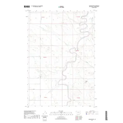
1971 Lahti Butte
Harding County, SD
1971 McKenzie Butte
Harding County, SD
1971 Saddle Butte
Harding County, SD
1971 Sheep Pen Draw
Harding County, SD
1971 Sheep Pen Draw SE
Harding County, SD
1971 Sheep Pen Draw SW
Harding County, SD
1973 Bog Creek
Harding County, SD
1973 Gallup Creek
Harding County, SD
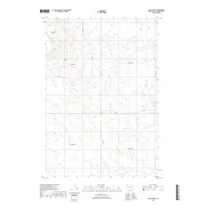
1973 Hells Canyon
Harding County, SD
1973 Redig
Harding County, SD
1974 Caroline Butte
Harding County, SD
1974 Pine Spring
Harding County, SD

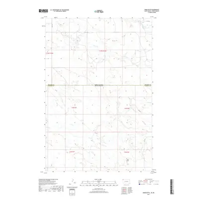
1977 Doaks Butte
Harding County, SD
1977 Harding
Harding County, SD
1977 Scott Creek
Harding County, SD
1978 Bams Butte
Harding County, SD
1978 Bams Butte NW
Harding County, SD
1978 Bams Butte SE
Harding County, SD
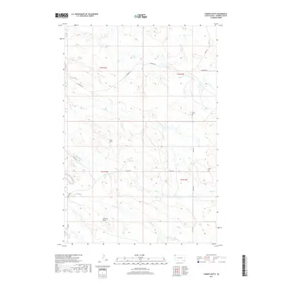
1978 Chimney Butte
Harding County, SD
1978 Dogie Butte
Harding County, SD
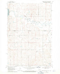
1978 Gustave
Harding County, SD
1978 J K Butte
Harding County, SD
1978 Moreau Peak
Harding County, SD
1978 Redig NE
Harding County, SD
1980 Redig
Harding County, SD
1993 Battleship Rock
Harding County, SD
1993 Bog Creek
Harding County, SD
1993 Eagles Nest Butte
Harding County, SD
1993 Flat Top Butte
Harding County, SD
1993 Harding
Harding County, SD
1993 Hay Creek
Harding County, SD
1993 Hells Canyon
Harding County, SD
1993 Irish Butte
Harding County, SD
1993 J B Hill
Harding County, SD
1993 J K Butte
Harding County, SD
1993 Ladner NE
Harding County, SD
1993 Ladner SE
Harding County, SD
1993 Ludlow
Harding County, SD
1993 McKenzie Butte
Harding County, SD
1993 Moreau Peak
Harding County, SD
1993 Reva
Harding County, SD
1993 Sheep Mountain
Harding County, SD
2005 Battleship Rock
Harding County, SD
2005 Eagles Nest Butte
Harding County, SD
2005 Flat Top Butte
Harding County, SD
2005 Hay Creek
Harding County, SD

2005 Hells Canyon
Harding County, SD
2005 Irish Butte
Harding County, SD
2005 J B Hill
Harding County, SD
2005 Ladner NE
Harding County, SD
2005 Ladner SE
Harding County, SD
2005 Ludlow
Harding County, SD
2005 McKenzie Butte
Harding County, SD
2005 Moreau Peak
Harding County, SD
2005 Reva
Harding County, SD
2005 Sheep Mountain
Harding County, SD
2011 Dogie Butte
Harding County, SD
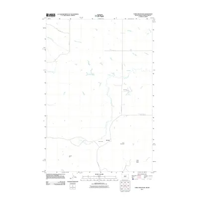
2011 Table Mountain
Harding County, SD
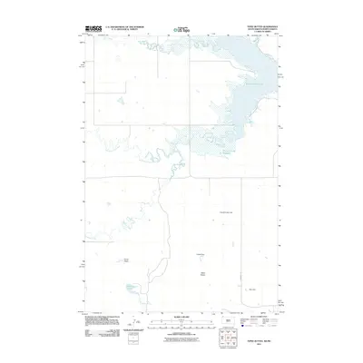
2011 Tepee Buttes
Harding County, SD
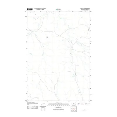
2012 Bams Butte
Harding County, SD
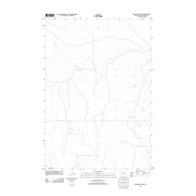
2012 Bams Butte NW
Harding County, SD
2012 Bams Butte SE
Harding County, SD
2012 Battleship Rock
Harding County, SD
2012 Bog Creek
Harding County, SD
2012 Caroline Butte
Harding County, SD
2012 Chimney Butte
Harding County, SD
2012 Dogie Butte
Harding County, SD
2012 Eagles Nest Butte
Harding County, SD
2012 Flat Top Butte
Harding County, SD
2012 Gallup Creek
Harding County, SD
2012 Gustave
Harding County, SD
2012 Harding
Harding County, SD
2012 Hay Creek
Harding County, SD
2012 Hells Canyon
Harding County, SD
2012 Irish Butte
Harding County, SD
2012 J B Hill
Harding County, SD
2012 J K Butte
Harding County, SD
2012 Ladner
Harding County, SD
2012 Ladner NE
Harding County, SD
2012 Ladner SE
Harding County, SD
2012 Lahti Butte
Harding County, SD
2012 Ludlow
Harding County, SD
2012 Ludlow SE
Harding County, SD
2012 McKenzie Butte
Harding County, SD
2012 Moreau Peak
Harding County, SD
2012 Pine Spring
Harding County, SD
2012 Ralph
Harding County, SD
2012 Ralph SW
Harding County, SD
2012 Redig
Harding County, SD
2012 Redig NE
Harding County, SD
2012 Reva
Harding County, SD
2012 Reva NE
Harding County, SD
2012 Reva NW
Harding County, SD
2012 Roundup Butte
Harding County, SD
2012 Saddle Butte
Harding County, SD
2012 Scott Creek
Harding County, SD
2012 Sheep Mountain
Harding County, SD
2012 Sheep Pen Draw
Harding County, SD
2012 Sheep Pen Draw SE
Harding County, SD
2012 Sheep Pen Draw SW
Harding County, SD
2012 Table Mountain
Harding County, SD
2012 Tepee Buttes
Harding County, SD
2015 Bams Butte
Harding County, SD
2015 Bams Butte NW
Harding County, SD
2015 Bams Butte SE
Harding County, SD
2015 Battleship Rock
Harding County, SD
2015 Bog Creek
Harding County, SD
2015 Caroline Butte
Harding County, SD
2015 Chimney Butte
Harding County, SD
2015 Dogie Butte
Harding County, SD
2015 Eagles Nest Butte
Harding County, SD
2015 Flat Top Butte
Harding County, SD
2015 Gallup Creek
Harding County, SD
2015 Gustave
Harding County, SD
2015 Harding
Harding County, SD
2015 Hay Creek
Harding County, SD
2015 Hells Canyon
Harding County, SD
2015 Irish Butte
Harding County, SD
2015 J B Hill
Harding County, SD
2015 J K Butte
Harding County, SD
2015 Ladner
Harding County, SD
2015 Ladner NE
Harding County, SD
2015 Ladner SE
Harding County, SD
2015 Lahti Butte
Harding County, SD
2015 Ludlow
Harding County, SD
2015 Ludlow SE
Harding County, SD
2015 McKenzie Butte
Harding County, SD
2015 Moreau Peak
Harding County, SD
2015 Pine Spring
Harding County, SD
2015 Ralph
Harding County, SD
2015 Ralph SW
Harding County, SD
2015 Redig
Harding County, SD
2015 Redig NE
Harding County, SD
2015 Reva
Harding County, SD
2015 Reva NE
Harding County, SD
2015 Reva NW
Harding County, SD
2015 Roundup Butte
Harding County, SD
2015 Saddle Butte
Harding County, SD
2015 Scott Creek
Harding County, SD
2015 Sheep Mountain
Harding County, SD
2015 Sheep Pen Draw
Harding County, SD
2015 Sheep Pen Draw SE
Harding County, SD
2015 Sheep Pen Draw SW
Harding County, SD
2015 Table Mountain
Harding County, SD
2015 Tepee Buttes
Harding County, SD
2017 Bams Butte
Harding County, SD
2017 Bams Butte NW
Harding County, SD
2017 Bams Butte SE
Harding County, SD
2017 Battleship Rock
Harding County, SD
2017 Bog Creek
Harding County, SD
2017 Caroline Butte
Harding County, SD
2017 Chimney Butte
Harding County, SD
2017 Dogie Butte
Harding County, SD
2017 Eagles Nest Butte
Harding County, SD
2017 Flat Top Butte
Harding County, SD
2017 Gallup Creek
Harding County, SD
2017 Gustave
Harding County, SD
2017 Harding
Harding County, SD
2017 Hay Creek
Harding County, SD
2017 Hells Canyon
Harding County, SD
2017 Irish Butte
Harding County, SD
2017 J B Hill
Harding County, SD
2017 J K Butte
Harding County, SD
2017 Ladner
Harding County, SD
2017 Ladner NE
Harding County, SD
2017 Ladner SE
Harding County, SD
2017 Lahti Butte
Harding County, SD
2017 Ludlow
Harding County, SD
2017 Ludlow SE
Harding County, SD
2017 McKenzie Butte
Harding County, SD
2017 Moreau Peak
Harding County, SD
2017 Pine Spring
Harding County, SD
2017 Ralph
Harding County, SD
2017 Ralph SW
Harding County, SD
2017 Redig
Harding County, SD
2017 Redig NE
Harding County, SD
2017 Reva
Harding County, SD
2017 Reva NE
Harding County, SD
2017 Reva NW
Harding County, SD
2017 Roundup Butte
Harding County, SD
2017 Saddle Butte
Harding County, SD
2017 Scott Creek
Harding County, SD

2017 Sheep Mountain
Harding County, SD
2017 Sheep Pen Draw
Harding County, SD
2017 Sheep Pen Draw SE
Harding County, SD
2017 Sheep Pen Draw SW
Harding County, SD
2017 Table Mountain
Harding County, SD
2017 Tepee Buttes
Harding County, SD
2021 Bams Butte
Harding County, SD
2021 Bams Butte NW
Harding County, SD
2021 Bams Butte SE
Harding County, SD
2021 Battleship Rock
Harding County, SD
2021 Bog Creek
Harding County, SD
2021 Caroline Butte
Harding County, SD
2021 Chimney Butte
Harding County, SD
2021 Dogie Butte
Harding County, SD
2021 Eagles Nest Butte
Harding County, SD
2021 Flat Top Butte
Harding County, SD
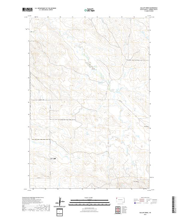
2021 Gallup Creek
Harding County, SD
2021 Gustave
Harding County, SD
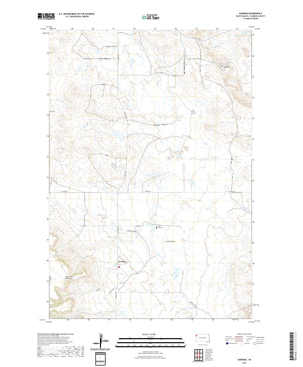
2021 Harding
Harding County, SD
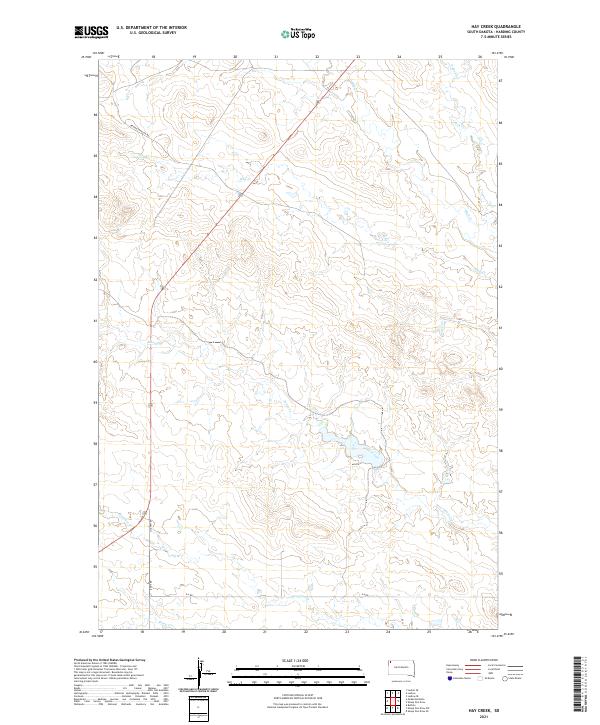
2021 Hay Creek
Harding County, SD
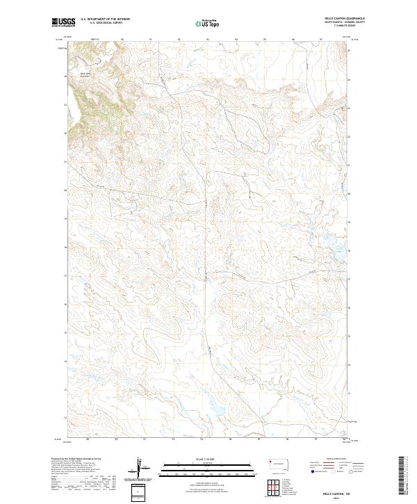
2021 Hells Canyon
Harding County, SD
2021 Irish Butte
Harding County, SD
2021 J B Hill
Harding County, SD
2021 J K Butte
Harding County, SD
2021 Ladner
Harding County, SD
2021 Ladner NE
Harding County, SD
2021 Ladner SE
Harding County, SD
2021 Lahti Butte
Harding County, SD
2021 Ludlow
Harding County, SD
2021 Ludlow SE
Harding County, SD
2021 McKenzie Butte
Harding County, SD
2021 Moreau Peak
Harding County, SD
2021 Pine Spring
Harding County, SD
2021 Ralph
Harding County, SD
2021 Ralph SW
Harding County, SD
2021 Redig
Harding County, SD
2021 Redig NE
Harding County, SD
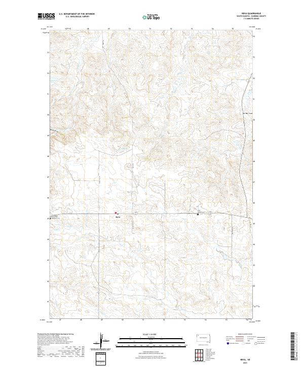
2021 Reva
Harding County, SD
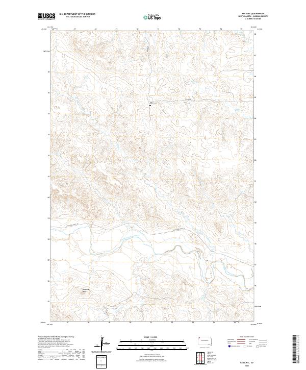
2021 Reva NE
Harding County, SD
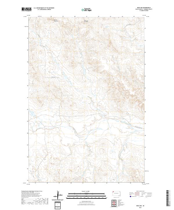
2021 Reva NW
Harding County, SD
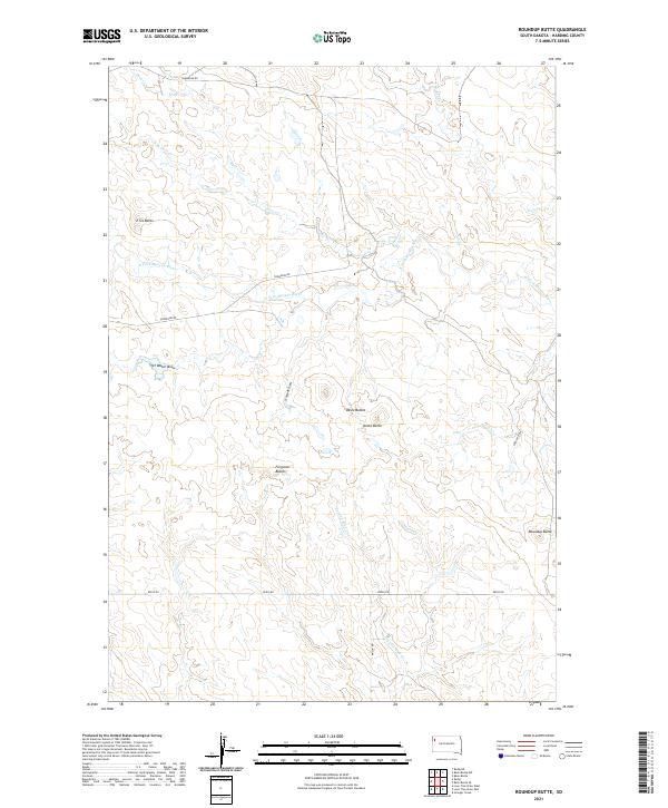
2021 Roundup Butte
Harding County, SD
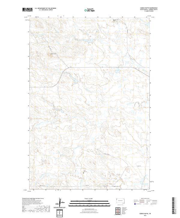
2021 Saddle Butte
Harding County, SD
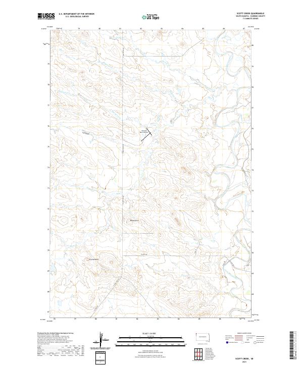
2021 Scott Creek
Harding County, SD
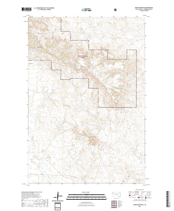
2021 Sheep Mountain
Harding County, SD
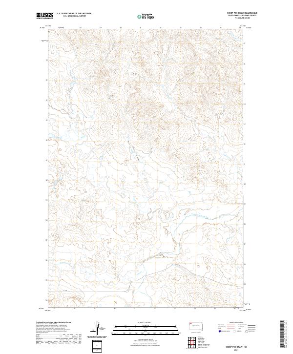
2021 Sheep Pen Draw
Harding County, SD
2021 Sheep Pen Draw SE
Harding County, SD
2021 Sheep Pen Draw SW
Harding County, SD
2021 Table Mountain
Harding County, SD
2021 Tepee Buttes
Harding County, SD