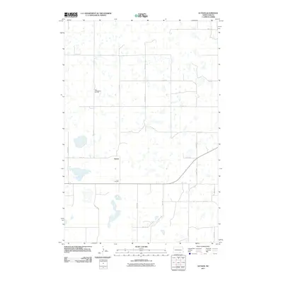
2011 Map of Guyson
USGS Topo · Published 2011About this map
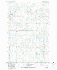
Guyson anchors this agricultural landscape in Logan County, characterized by a dense network of small wetlands and prairie potholes that dictate the winding paths of rural section roads. The map captures the quiet transition of this high plains area, where the grid of gravel routes like 58th Ave SE and 77th St SE navigates around numerous seasonal water bodies. For those tracing local heritage, the presence of the Tabor Congregation Cemetery in the northwest and Lautt Cemetery to the south provides specific points of interest for genealogical research. These family and congregational landmarks, along with the corridor provided by County Hwy-9, illustrate the enduring rural layout of central North Dakota in the early 21st century.
Find a feature on this map
19 named features on this map. Tap any name to fly to it.
Don’t see what you’re looking for? This feature index may not catch every label — zoom into the map to look around manually.
Map Details
Editions of this 2011 Guyson Map
This is the sole edition of this map. No revisions or reprints were ever made.
Other maps of this area

1953 · Jamestown
USGS Topo · 1:250,000

1956 · Jamestown
USGS Topo · 1:250,000
1982 · Coldwater Lake NW
USGS Topo · 1:24,000
1982 · Fredonia NW
USGS Topo · 1:24,000
1982 · Guyson
USGS Topo · 1:24,000
1982 · Coldwater Lake NE
USGS Topo · 1:24,000
1982 · Fredonia
USGS Topo · 1:24,000
1982 · Lehr NE
USGS Topo · 1:24,000
1982 · Ashley NE
USGS Topo · 1:24,000
1982 · Fredonia NE
USGS Topo · 1:24,000