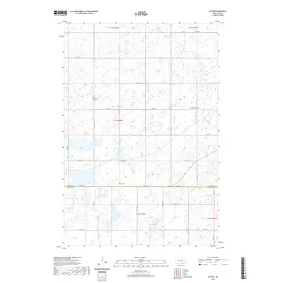
2020 Map of Guyson
USGS Topo · Published 2020About this map
Guyson sits at the center of this 2020 landscape, where the prairie of North Dakota is defined by a dense network of seasonal wetlands and glacial potholes. The map reveals the intricate drainage patterns near the border of Logan Co and Mcintosh Co, reflecting the undulating terrain of the Missouri Coteau. Genealogists will find particular value in the locations of the Tabor Congregation Cem and Lautt Cem, which serve as quiet markers of the region's homesteading history and early religious communities. The area is gridded by local roads such as 78th St SE and 58th Ave SE, which organize the vast agricultural sections and small water bodies that dominate the quadrangle.
Find a feature on this map
26 named features on this map. Tap any name to fly to it.
Don’t see what you’re looking for? This feature index may not catch every label — zoom into the map to look around manually.
Map Details
Editions of this 2020 Guyson Map
This is the sole edition of this map. No revisions or reprints were ever made.
Other maps of this area

1953 · Jamestown
USGS Topo · 1:250,000

1956 · Jamestown
USGS Topo · 1:250,000

1982 · Coldwater Lake NW
USGS Topo · 1:24,000

1982 · Fredonia NW
USGS Topo · 1:24,000

1982 · Guyson
USGS Topo · 1:24,000

1982 · Coldwater Lake NE
USGS Topo · 1:24,000

1982 · Fredonia
USGS Topo · 1:24,000

1982 · Lehr NE
USGS Topo · 1:24,000

1982 · Ashley NE
USGS Topo · 1:24,000

1982 · Fredonia NE
USGS Topo · 1:24,000