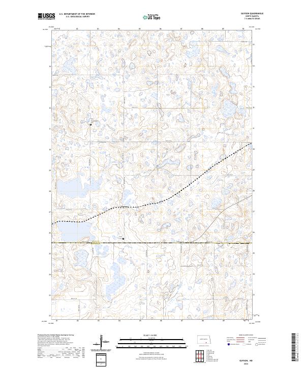
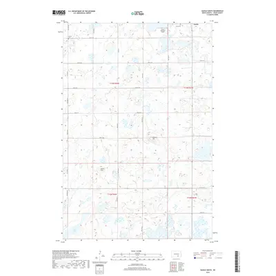
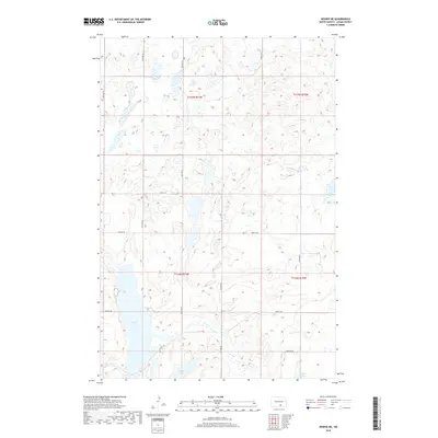
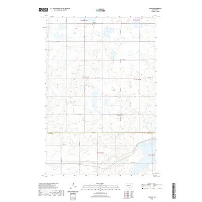
2024 Map of Guyson
USGS Topo · Published 2024About this map
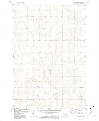
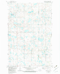
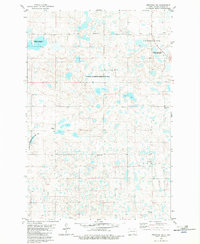
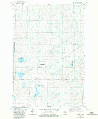
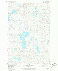
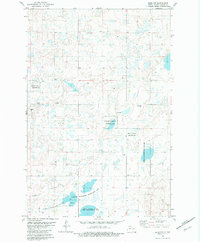
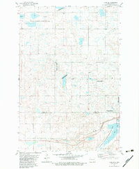
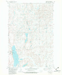
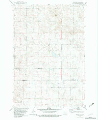
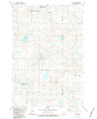
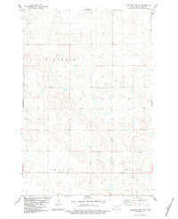
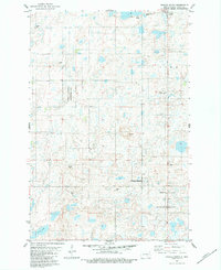
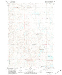
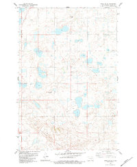
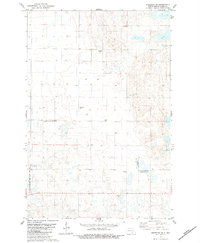
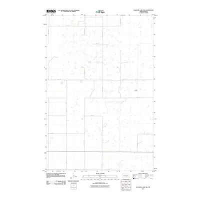
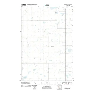
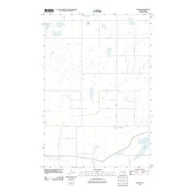
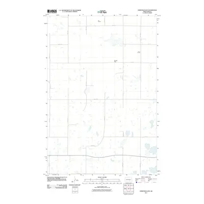
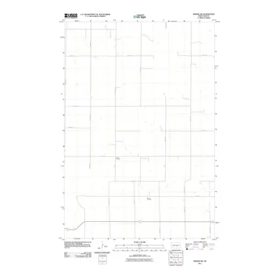
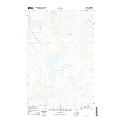
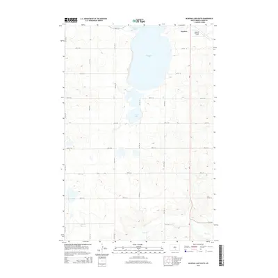
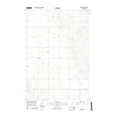
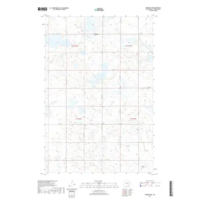
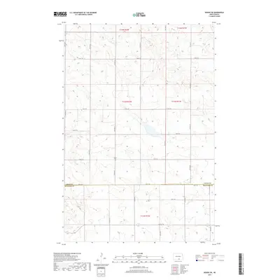
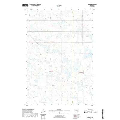
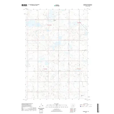
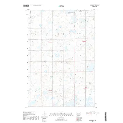
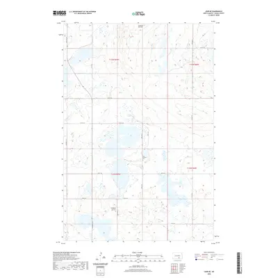
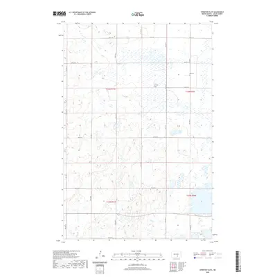
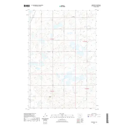
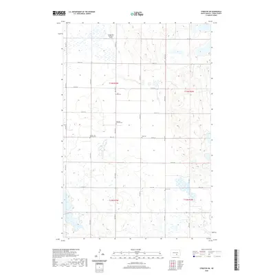
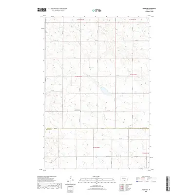
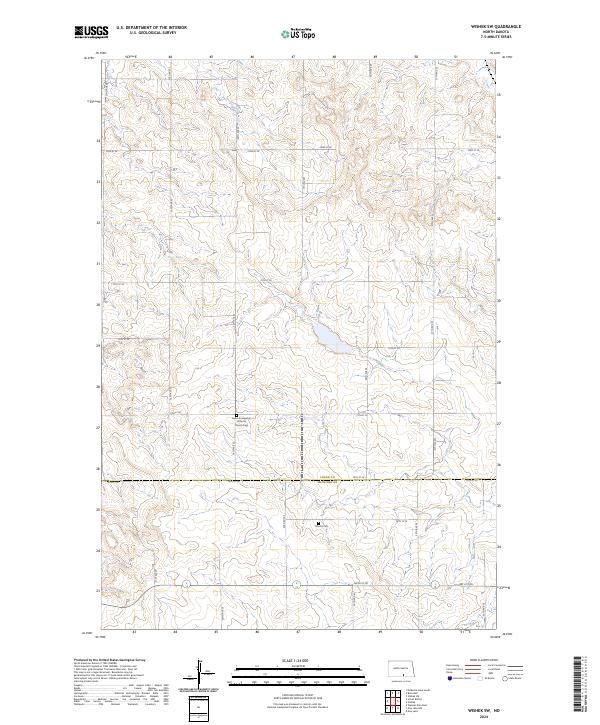
Guyson sits at the heart of this prairie landscape, where the flatlands are broken by a dense network of seasonal wetlands and small basins. The settlement patterns here reflect the rural heritage of the region, anchored by historical burial sites such as the Tabor Congregation Cem and Lautt Cem. This area spans the boundary between Logan and McIntosh Counties, a division marked by the east-west orientation of 78th St SE. Large tracts of the terrain are dedicated to conservation, specifically the Logan County Waterfowl Production Area and the Mcintosh County Waterfowl Production Area. These protected zones highlight the importance of the local potholes and marshes to migratory bird populations, while a strict grid of gravel roads like 74th St SE and 58th Ave SE provides access to the surrounding agricultural sections.
Find a feature on this map
24 named features on this map. Tap any name to fly to it.
Don’t see what you’re looking for? This feature index may not catch every label — zoom into the map to look around manually.
Map Details
Editions of this 2024 Guyson Map
This is the sole edition of this map. No revisions or reprints were ever made.
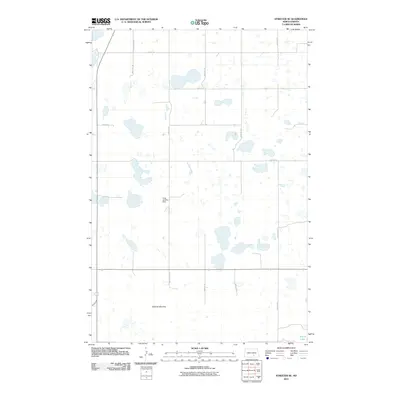
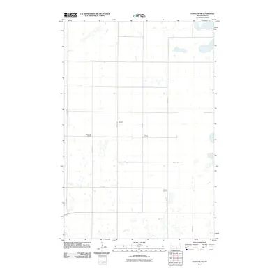
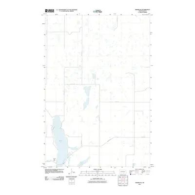
Historical Maps of Roloff Township Through Time
108 maps found
1979 McKenna Lake South
Logan County, ND
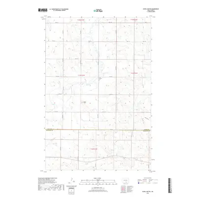
1979 Schell Buttes
Logan County, ND
1980 McKenna Lake North
Logan County, ND
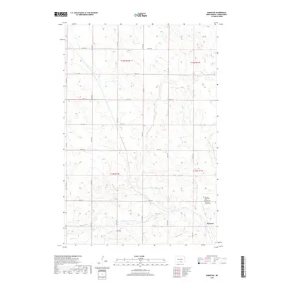
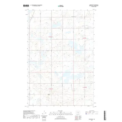
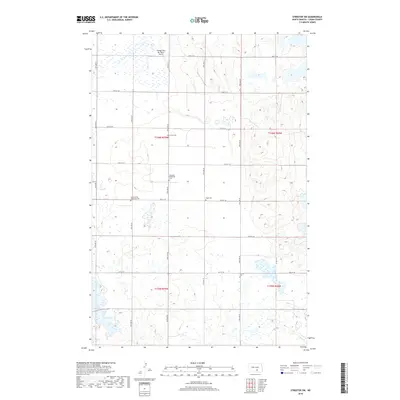
1982 Burnstad
Logan County, ND
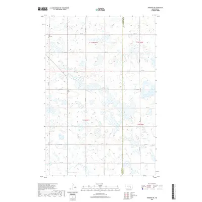
1982 Fredonia NE
Logan County, ND
1982 Fredonia NW
Logan County, ND
1982 Guyson
Logan County, ND
1982 Lehr NE
Logan County, ND
1982 Lehr NW
Logan County, ND
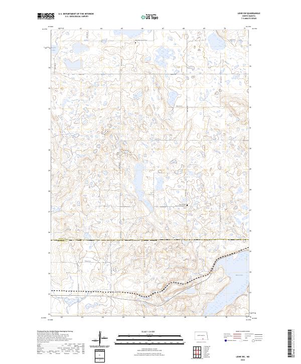
1982 Lehr SW
Logan County, ND
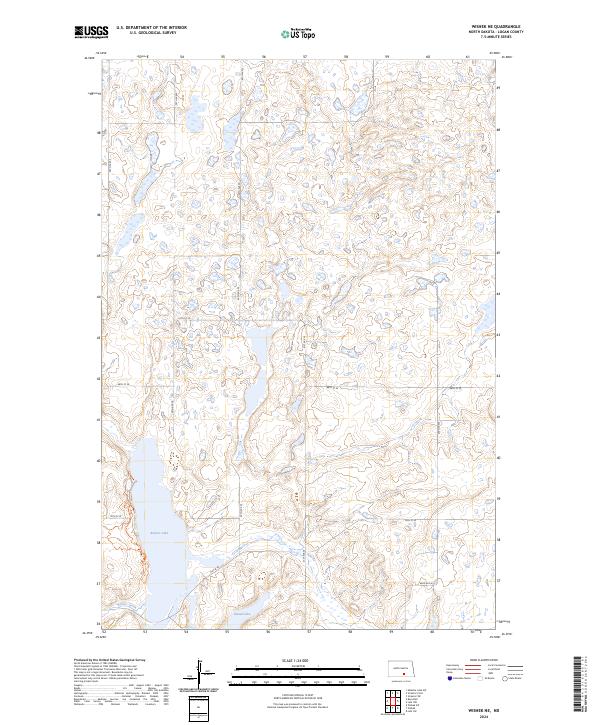
1982 Wishek NE
Logan County, ND
1982 Wishek SW
Logan County, ND
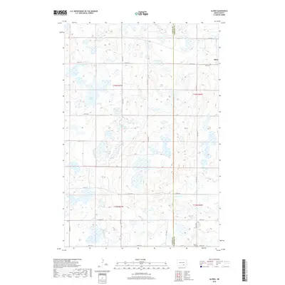
1983 Alfred
Logan County, ND
1983 Alkaline Lake SW
Logan County, ND
1983 Gackle South
Logan County, ND
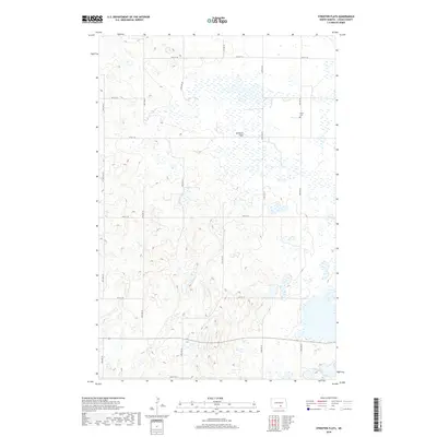
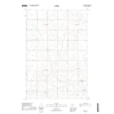
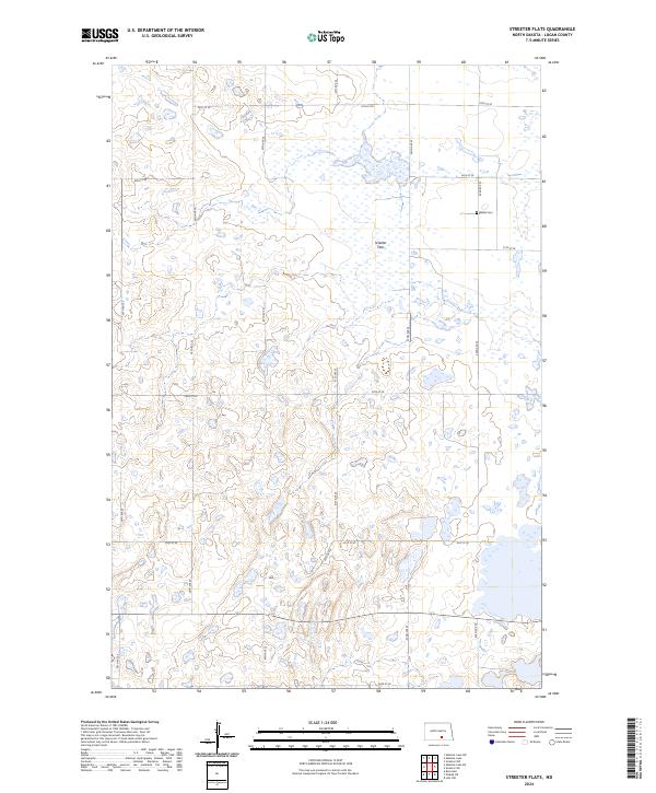
1983 Streeter Flats
Logan County, ND
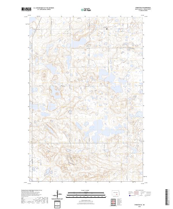
1983 Streeter SE
Logan County, ND
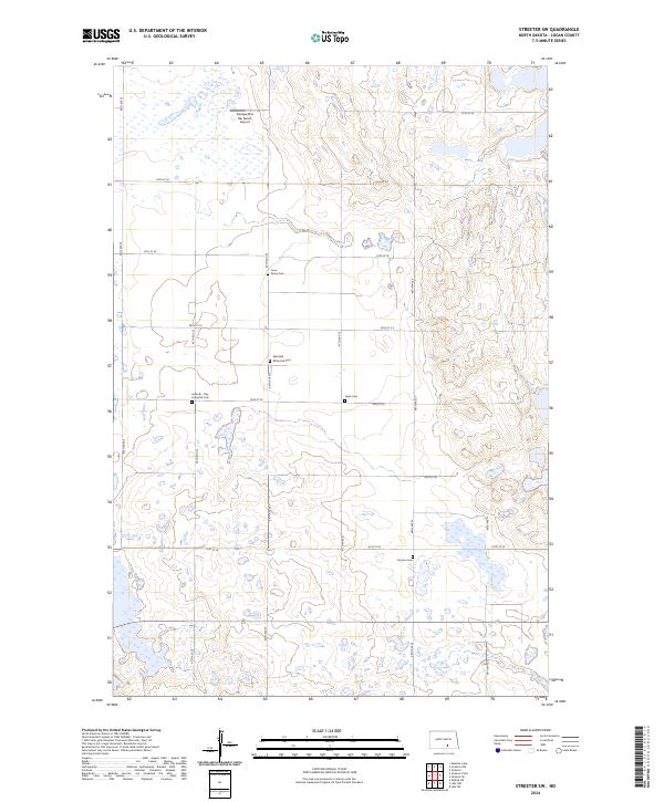
1983 Streeter SW
Logan County, ND
2011 Alfred
Logan County, ND
2011 Alkaline Lake SW
Logan County, ND
2011 Burnstad
Logan County, ND
2011 Fredonia NE
Logan County, ND
2011 Fredonia NW
Logan County, ND
2011 Gackle South
Logan County, ND
2011 Guyson
Logan County, ND
2011 Lehr NE
Logan County, ND
2011 Lehr NW
Logan County, ND
2011 Lehr SW
Logan County, ND
2011 McKenna Lake North
Logan County, ND
2011 McKenna Lake South
Logan County, ND
2011 Schell Buttes
Logan County, ND
2011 Streeter Flats
Logan County, ND
2011 Streeter SE
Logan County, ND
2011 Streeter SW
Logan County, ND
2011 Wishek NE
Logan County, ND
2011 Wishek SW
Logan County, ND
2014 Alfred
Logan County, ND
2014 Alkaline Lake SW
Logan County, ND
2014 Burnstad
Logan County, ND
2014 Fredonia NE
Logan County, ND
2014 Fredonia NW
Logan County, ND
2014 Gackle South
Logan County, ND
2014 Guyson
Logan County, ND
2014 Lehr NE
Logan County, ND
2014 Lehr NW
Logan County, ND
2014 Lehr SW
Logan County, ND
2014 McKenna Lake North
Logan County, ND
2014 McKenna Lake South
Logan County, ND
2014 Schell Buttes
Logan County, ND
2014 Streeter Flats
Logan County, ND
2014 Streeter SE
Logan County, ND
2014 Streeter SW
Logan County, ND
2014 Wishek NE
Logan County, ND
2014 Wishek SW
Logan County, ND
2017 Alkaline Lake SW
Logan County, ND
2017 Fredonia NW
Logan County, ND
2017 Lehr NE
Logan County, ND
2017 McKenna Lake North
Logan County, ND
2017 McKenna Lake South
Logan County, ND
2017 Wishek SW
Logan County, ND
2018 Alfred
Logan County, ND
2018 Burnstad
Logan County, ND
2018 Fredonia NE
Logan County, ND
2018 Gackle South
Logan County, ND
2018 Guyson
Logan County, ND
2018 Lehr NW
Logan County, ND
2018 Lehr SW
Logan County, ND
2018 Schell Buttes
Logan County, ND
2018 Streeter Flats
Logan County, ND
2018 Streeter SE
Logan County, ND
2018 Streeter SW
Logan County, ND
2018 Wishek NE
Logan County, ND
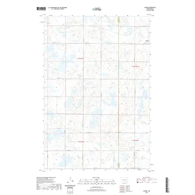
2020 Alfred
Logan County, ND
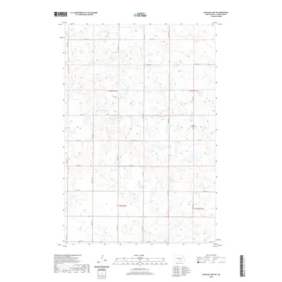
2020 Alkaline Lake SW
Logan County, ND
2020 Burnstad
Logan County, ND
2020 Fredonia NE
Logan County, ND
2020 Fredonia NW
Logan County, ND
2020 Gackle South
Logan County, ND

2020 Guyson
Logan County, ND
2020 Lehr NE
Logan County, ND

2020 Lehr NW
Logan County, ND
2020 Lehr SW
Logan County, ND
2020 McKenna Lake North
Logan County, ND
2020 McKenna Lake South
Logan County, ND
2020 Schell Buttes
Logan County, ND
2020 Streeter Flats
Logan County, ND
2020 Streeter SE
Logan County, ND
2020 Streeter SW
Logan County, ND
2020 Wishek NE
Logan County, ND
2020 Wishek SW
Logan County, ND
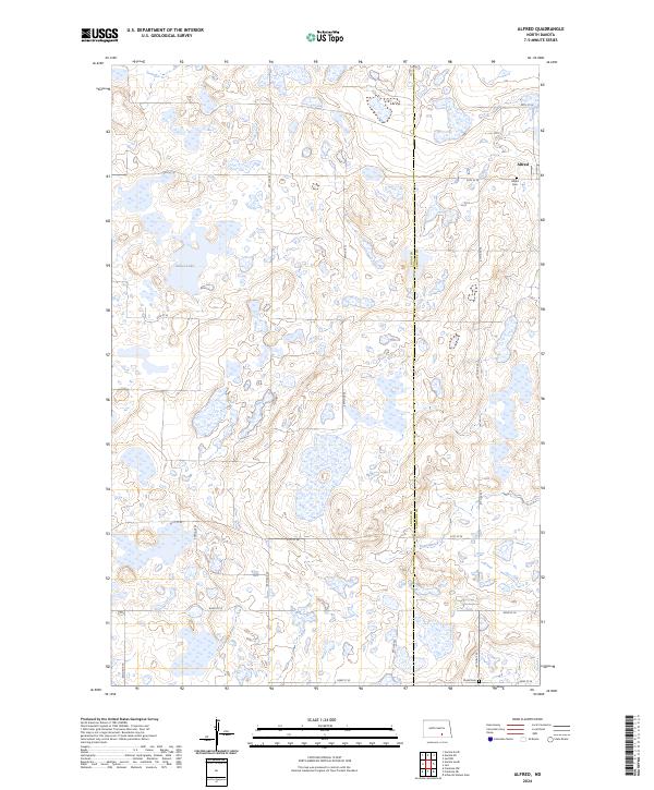
2024 Alfred
Logan County, ND
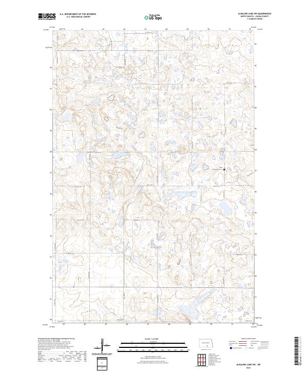
2024 Alkaline Lake SW
Logan County, ND
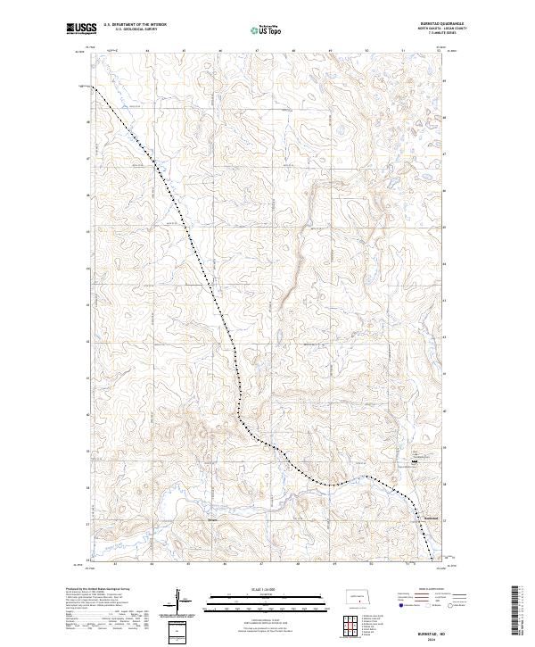
2024 Burnstad
Logan County, ND

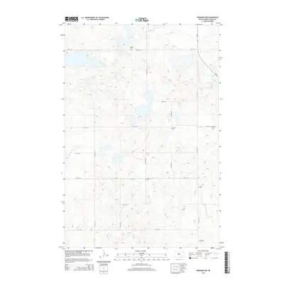
2024 Fredonia NE
Logan County, ND
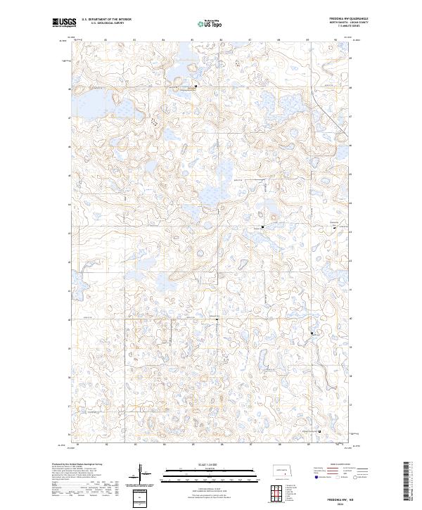
2024 Fredonia NW
Logan County, ND
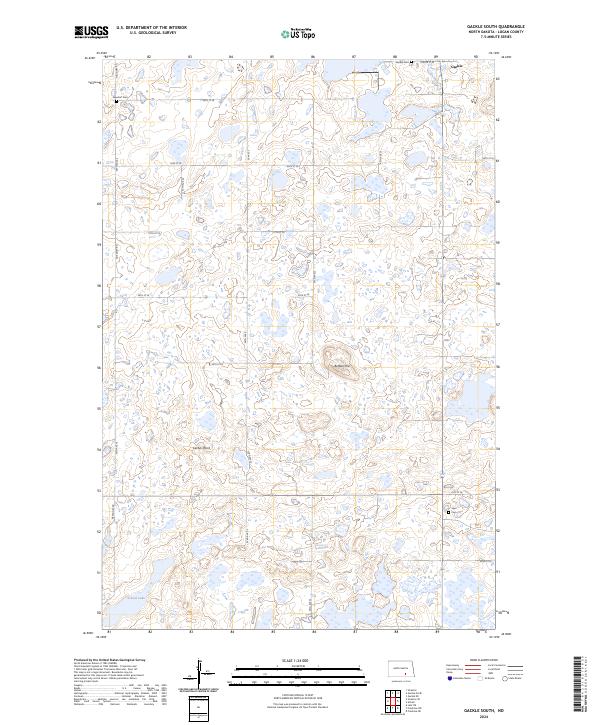
2024 Gackle South
Logan County, ND
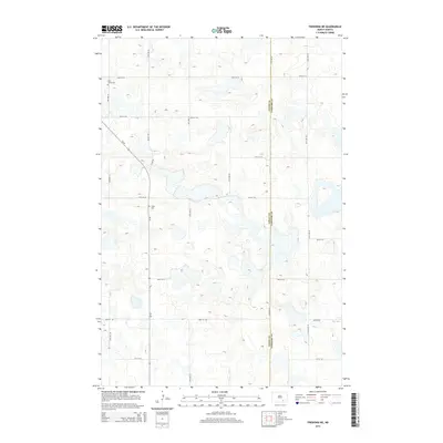
2024 Guyson
Logan County, ND
2024 Lehr NE
Logan County, ND
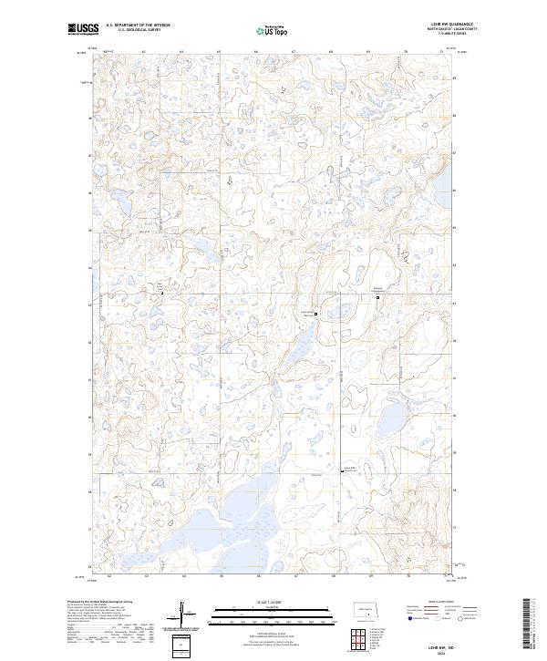
2024 Lehr NW
Logan County, ND
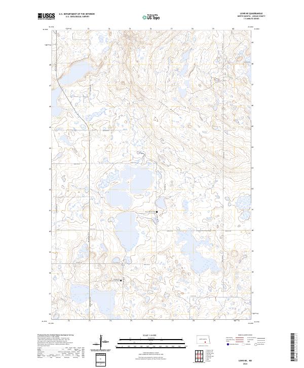
2024 Lehr SW
Logan County, ND
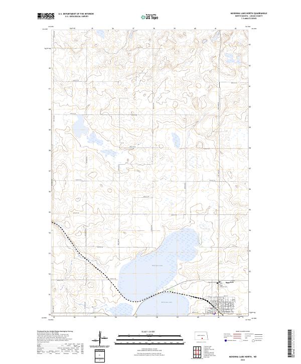
2024 McKenna Lake North
Logan County, ND
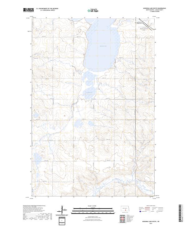
2024 McKenna Lake South
Logan County, ND
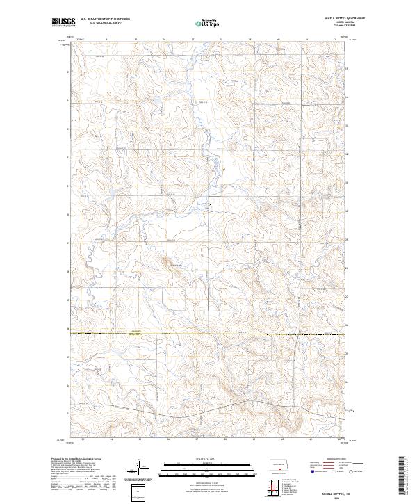
2024 Schell Buttes
Logan County, ND
2024 Streeter Flats
Logan County, ND
2024 Streeter SE
Logan County, ND
2024 Streeter SW
Logan County, ND
2024 Wishek NE
Logan County, ND
2024 Wishek SW
Logan County, ND