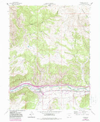
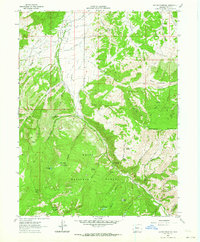
1962 Map of Gypsum
USGS Topo · Published 1988About this map
The town of Gypsum sits along the banks of the Eagle River, serving as a central hub for ranching and transportation in Eagle County. This 1962 topography, updated with 1987 photorevisions, reveals a landscape defined by an intricate network of irrigation systems including Casper Ditch, Schumm Ditch, and Hockett Ditch, which supported the valley's agricultural development. The Denver and Rio Grande Western railroad parallels the river, providing the critical connection between the mountain terrain and the plains.
Find a feature on this map
31 named features on this map. Tap any name to fly to it.
Don’t see what you’re looking for? This feature index may not catch every label — zoom into the map to look around manually.
Map Details
Editions of this 1962 Gypsum Map
5 editions found
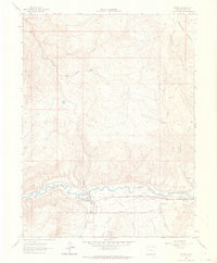
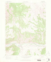
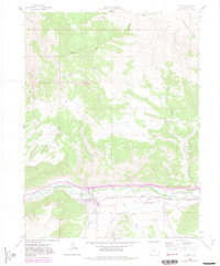
Other maps of this area

1927 · Glenwood Springs
USGS Topo · 1:125,000

1930 · Glenwood Springs
USGS Topo · 1:125,000

1957 · Leadville
USGS Topo · 1:250,000

1959 · Leadville
USGS Topo · 1:250,000

1960 · Leadville
USGS Topo · 1:250,000

1961 · Cottonwood Pass
USGS Topo · 1:24,000

1962 · Leadville
USGS Topo · 1:250,000

1962 · Gypsum
USGS Topo · 1:24,000
1962 · Suicide Mountain
USGS Topo · 1:24,000

1962 · Eagle
USGS Topo · 1:24,000