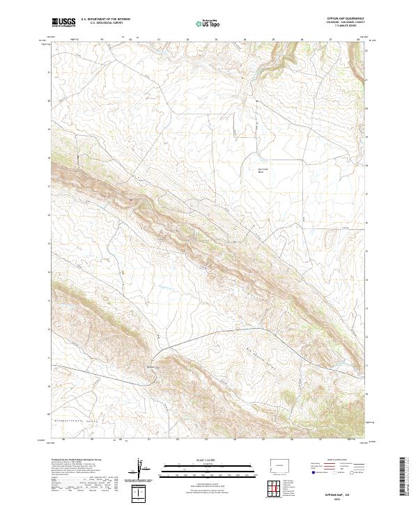
2022 Map of Gypsum Gap
USGS Topo · Published 2022About this map
Big Gypsum Valley dominates the lower half of this landscape, carving a wide path through San Miguel County between the high plateaus of the southwest. This 2022 survey illustrates the remote, high-desert character of the region, where seasonal drainage systems like Dugout Wash and Big Gypsum Cr dictate the layout of the sparse ranch road network. A critical passage through the terrain is found at Gypsum Gap, where State Highway 141 threads through the ridges to connect the valley with the southern reaches of Disappointment Valley.
Find a feature on this map
31 named features on this map. Tap any name to fly to it.
Don’t see what you’re looking for? This feature index may not catch every label — zoom into the map to look around manually.
Map Details
Editions of this 2022 Gypsum Gap Map
This is the sole edition of this map. No revisions or reprints were ever made.
Other maps of this area

1916 · Paradox Valley
USGS Topo · 1:125,000

1922 · Paradox Valley
USGS Topo · 1:125,000

1948 · Bull Canyon
USGS Topo · 1:24,000

1948 · Hamm Canyon
USGS Topo · 1:24,000

1948 · Naturita NW
USGS Topo · 1:24,000

1948 · Gypsum Gap
USGS Topo · 1:24,000

1949 · Bull Canyon
USGS Topo · 1:24,000

1949 · Gypsum Gap
USGS Topo · 1:24,000

1949 · Naturita NW
USGS Topo · 1:24,000

1949 · Joe Davis Hill
USGS Topo · 1:24,000