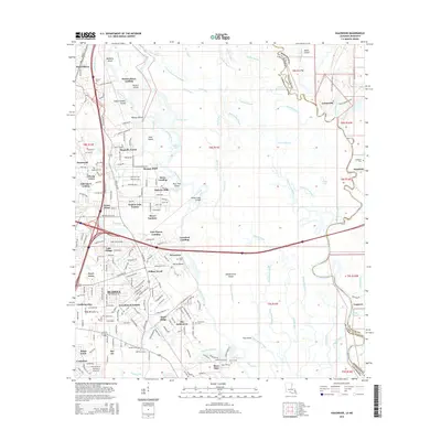
2015 Map of Haaswood
USGS Topo · Published 2015About this map
Slidell and the West Pearl River dominate this complex borderland landscape where suburban development meets the intricate bayous and sloughs of the Louisiana-Mississippi line. The expansion of residential neighborhoods like Magnolia Forest, Oak Grove Estates, and Frenchmens Estates contrasts with the dense network of waterways to the east, including Cradock Slough and English Bayou. These channels weave around large landforms such as Maddens Island and Whisky Island, marking a transition from the urban grid to the river delta's natural rhythms.
Find a feature on this map
224 named features on this map. Tap any name to fly to it.
Don’t see what you’re looking for? This feature index may not catch every label — zoom into the map to look around manually.
Map Details
Editions of this 2015 Haaswood Map
This is the sole edition of this map. No revisions or reprints were ever made.
Other maps of this area

1892 · Chef Menteur
USGS Topo · 1:62,500

1893 · Rigolets
USGS Topo · 1:62,500

1914 · Nicholson
USGS Topo · 1:62,500

1921 · Nicholson
USGS Topo · 1:62,500

1935 · Slidell
USGS Topo · 1:62,500

1935 · English Lookout
USGS Topo · 1:31,680

1936 · North Shore
USGS Topo · 1:31,680

1936 · Chef Menteur
USGS Topo · 1:62,500

1936 · Rigolets
USGS Topo · 1:62,500

1939 · Slidell
USGS Topo · 1:62,500