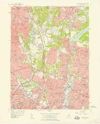
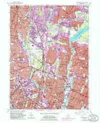
1955 Map of Hackensack
USGS Topo · Published 1958About this map
The Hackensack River and the Saddle River define the suburban landscape of Bergen County during a period of rapid post-war development. This mid-century view captures the dense residential expansion of Hackensack and Paramus, where the newly constructed Garden State Parkway began to reshape local transit. Large institutional and commemorative spaces remain prominent, including the sprawling Oradell Reservoir and significant local landmarks like Bergen Pines County Hospital.
Find a feature on this map
68 named features on this map. Tap any name to fly to it.
Don’t see what you’re looking for? This feature index may not catch every label — zoom into the map to look around manually.
Map Details
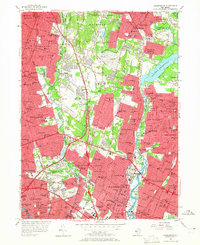
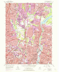
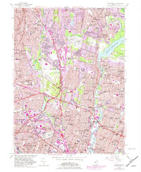
Editions of this 1955 Hackensack Map
5 editions found
Other maps of this area

1888 · Paterson
USGS Topo · 1:62,500

1891 · Ramapo
USGS Topo · 1:62,500

1891 · Harlem
USGS Topo · 1:62,500

1892 · Paterson
USGS Topo · 1:62,500

1892 · Tarrytown
USGS Topo · 1:62,500

1893 · Tarrytown
USGS Topo · 1:62,500

1893 · Ramapo
USGS Topo · 1:62,500

1897 · Harlem
USGS Topo · 1:62,500

1898 · Harlem
USGS Topo · 1:62,500

1898 · Paterson
USGS Topo · 1:62,500