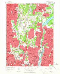
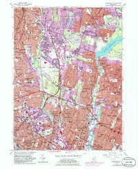
1955 Map of Hackensack
USGS Topo · Published 1965About this map
Hackensack and its surrounding boroughs are shown here during a period of intense suburban consolidation in Bergen County. The landscape is defined by the convergence of major transit arteries, including the Garden State Parkway and the New Jersey Turnpike, which intersect near the Saddle River. This mid-century infrastructure overlays an older network of local landmarks, such as the Zabriskie-Von Steuben House near the Hackensack River and numerous established cemeteries like Riverside Cemetery and Valleau Cemetery.
Find a feature on this map
185 named features on this map. Tap any name to fly to it.
Don’t see what you’re looking for? This feature index may not catch every label — zoom into the map to look around manually.
Map Details
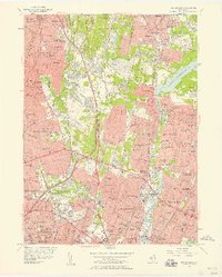
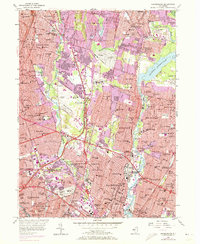
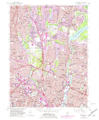
Editions of this 1955 Hackensack Map
5 editions found
Other maps of this area

1888 · Paterson
USGS Topo · 1:62,500

1891 · Ramapo
USGS Topo · 1:62,500

1891 · Harlem
USGS Topo · 1:62,500

1892 · Paterson
USGS Topo · 1:62,500

1892 · Tarrytown
USGS Topo · 1:62,500

1893 · Tarrytown
USGS Topo · 1:62,500

1893 · Ramapo
USGS Topo · 1:62,500

1897 · Harlem
USGS Topo · 1:62,500

1898 · Harlem
USGS Topo · 1:62,500

1898 · Paterson
USGS Topo · 1:62,500