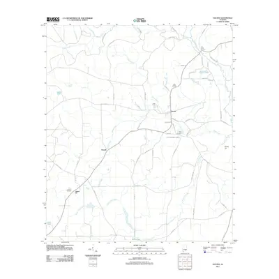
2011 Map of Hacoda
USGS Topo · Published 2011About this map
Hacoda sits at the heart of this rural Covington County landscape, where the road network connects small crossroads communities like Howells and Chapel Hill. The area is defined by its numerous small burial grounds, including the Corner Creek Cemetery, Corner Creek Upper Cemetery, and Old Sardis Cemetery, which reflect generations of local families. Agricultural and forest land is segmented by names like Tung Oil Rd and Hurricane Ridge Rd, suggesting the historical uses of the terrain.
Find a feature on this map
65 named features on this map. Tap any name to fly to it.
Don’t see what you’re looking for? This feature index may not catch every label — zoom into the map to look around manually.
Map Details
Editions of this 2011 Hacoda Map
This is the sole edition of this map. No revisions or reprints were ever made.
Other maps of this area

1949 · Glendale
USGS Topo · 1:62,500

1949 · Laurel Hill
USGS Topo · 1:62,500

1950 · Laurel Hill
USGS Topo · 1:62,500

1951 · Glendale
USGS Topo · 1:62,500

1953 · Andalusia
USGS Topo · 1:250,000

1957 · Andalusia
USGS Topo · 1:250,000

1957 · Pensacola
USGS Topo · 1:250,000

1959 · Pensacola
USGS Topo · 1:250,000

1960 · Pensacola
USGS Topo · 1:250,000
1968 · Samson
USGS Topo · 1:24,000