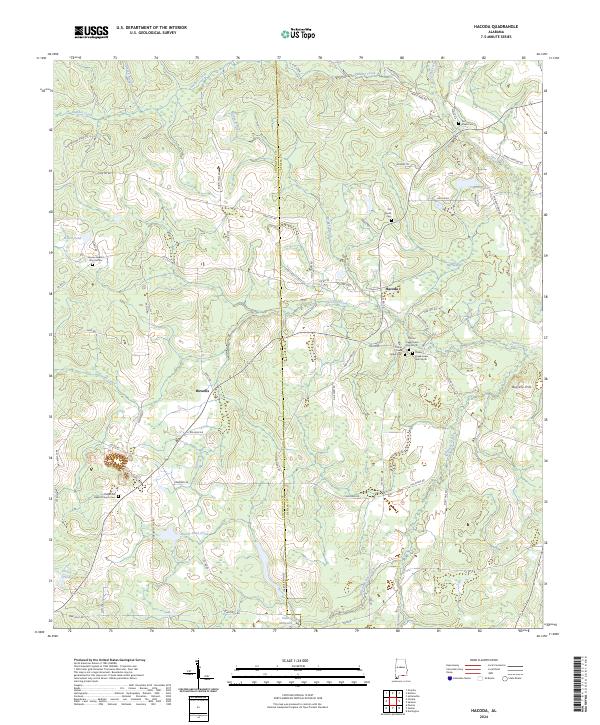
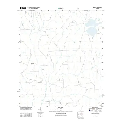
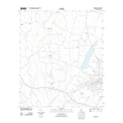
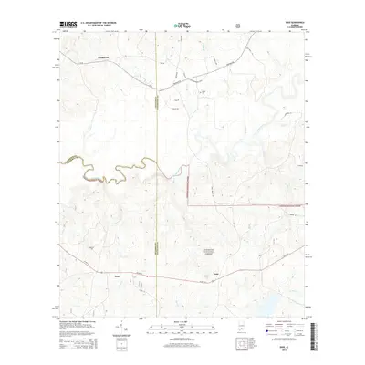
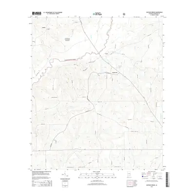
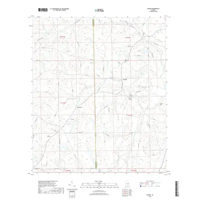
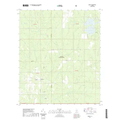
2024 Map of Hacoda
USGS Topo · Published 2024About this map
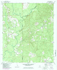
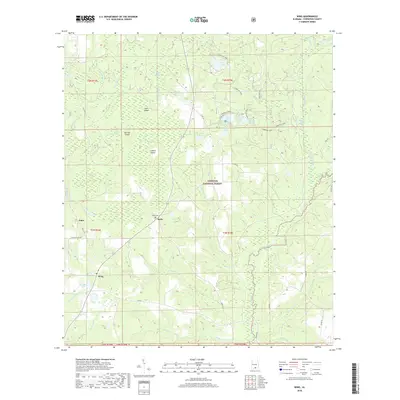
The Covington County and Geneva County line divides this landscape of creeks and bottomlands in southern Alabama. The small settlement of Hacoda sits at the intersection of several county roads, while Howells occupies the central section of the map. The area is heavily defined by its watercourses, including Panther Creek in the north and the expansive Big Swamp in the east.
Find a feature on this map
76 named features on this map. Tap any name to fly to it.
Don’t see what you’re looking for? This feature index may not catch every label — zoom into the map to look around manually.
Map Details
Editions of this 2024 Hacoda Map
This is the sole edition of this map. No revisions or reprints were ever made.
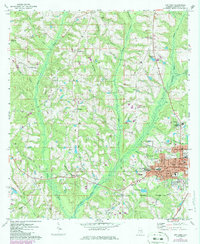
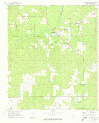
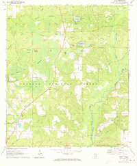
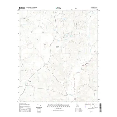
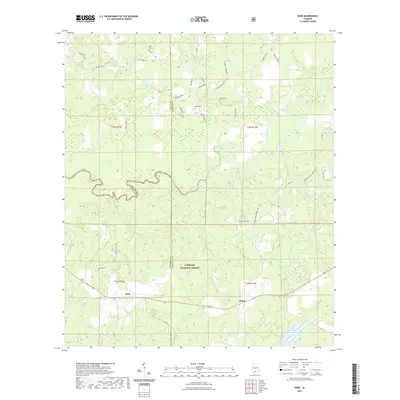
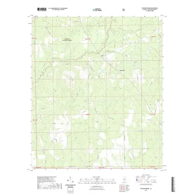
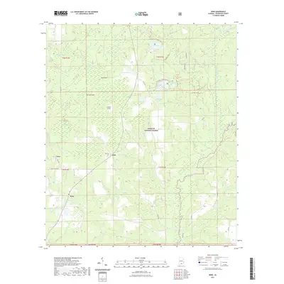
Historical Maps of Howells Through Time
42 maps found
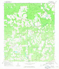
1969 Hacoda
Covington County, AL
1971 Bradley
Covington County, AL
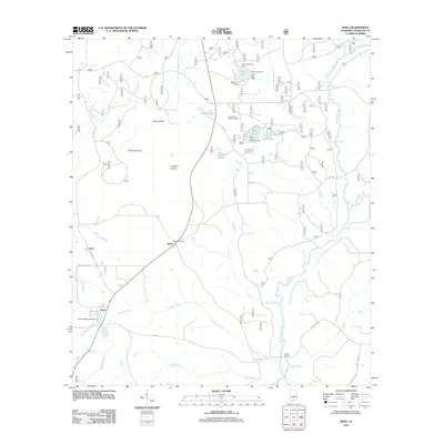
1971 Dixie
Covington County, AL
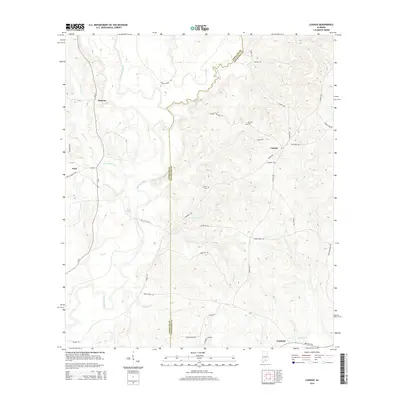
1971 Loango
Covington County, AL
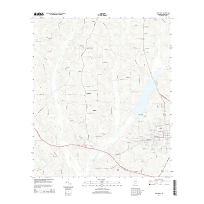
1971 Opp West
Covington County, AL
1971 Watkins Bridge
Covington County, AL
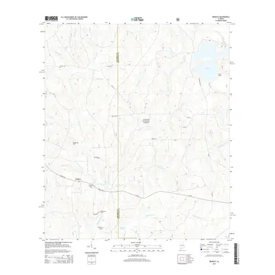
1971 Wing
Covington County, AL
2011 Bradley
Covington County, AL
2011 Dixie
Covington County, AL
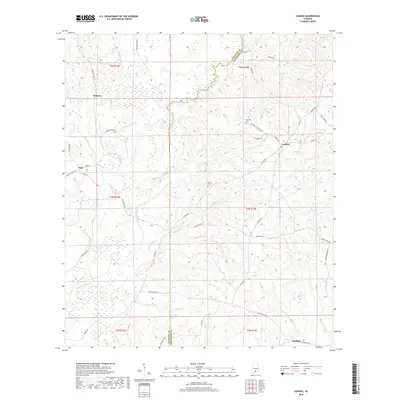
2011 Hacoda
Covington County, AL
2011 Loango
Covington County, AL
2011 Opp West
Covington County, AL
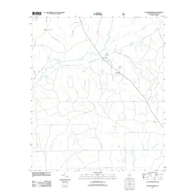
2011 Watkins Bridge
Covington County, AL
2011 Wing
Covington County, AL
2014 Bradley
Covington County, AL
2014 Dixie
Covington County, AL
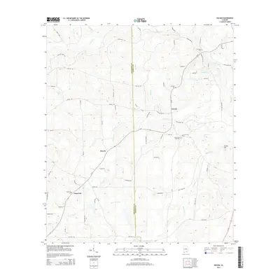
2014 Hacoda
Covington County, AL
2014 Loango
Covington County, AL
2014 Opp West
Covington County, AL
2014 Watkins Bridge
Covington County, AL
2014 Wing
Covington County, AL
2018 Bradley
Covington County, AL
2018 Dixie
Covington County, AL
2018 Hacoda
Covington County, AL
2018 Loango
Covington County, AL
2018 Opp West
Covington County, AL
2018 Watkins Bridge
Covington County, AL
2018 Wing
Covington County, AL
2020 Hacoda
Covington County, AL
2020 Loango
Covington County, AL
2020 Opp West
Covington County, AL
2021 Bradley
Covington County, AL
2021 Dixie
Covington County, AL
2021 Watkins Bridge
Covington County, AL
2021 Wing
Covington County, AL
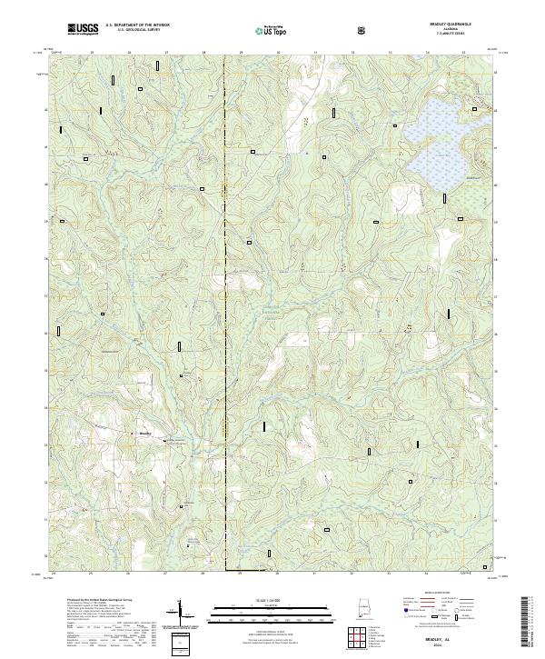
2024 Bradley
Covington County, AL
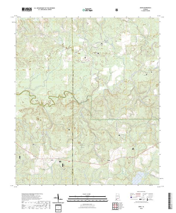
2024 Dixie
Covington County, AL
2024 Hacoda
Covington County, AL
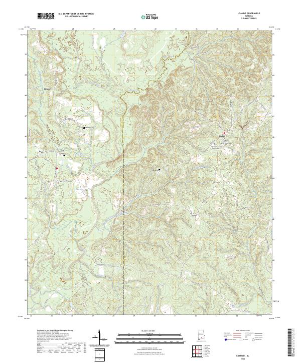
2024 Loango
Covington County, AL
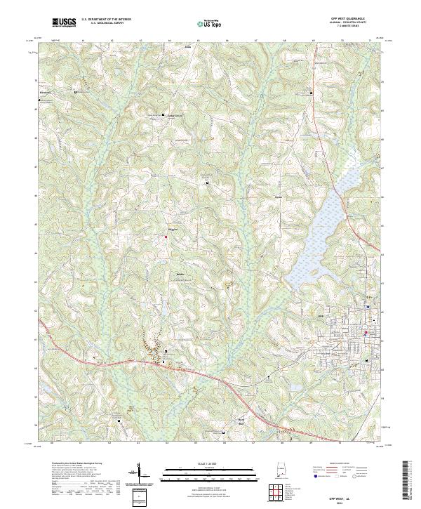
2024 Opp West
Covington County, AL
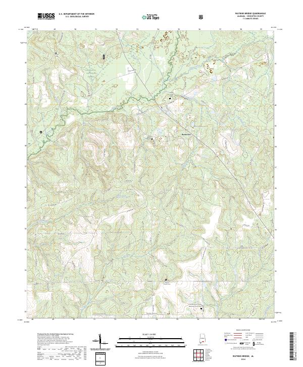
2024 Watkins Bridge
Covington County, AL
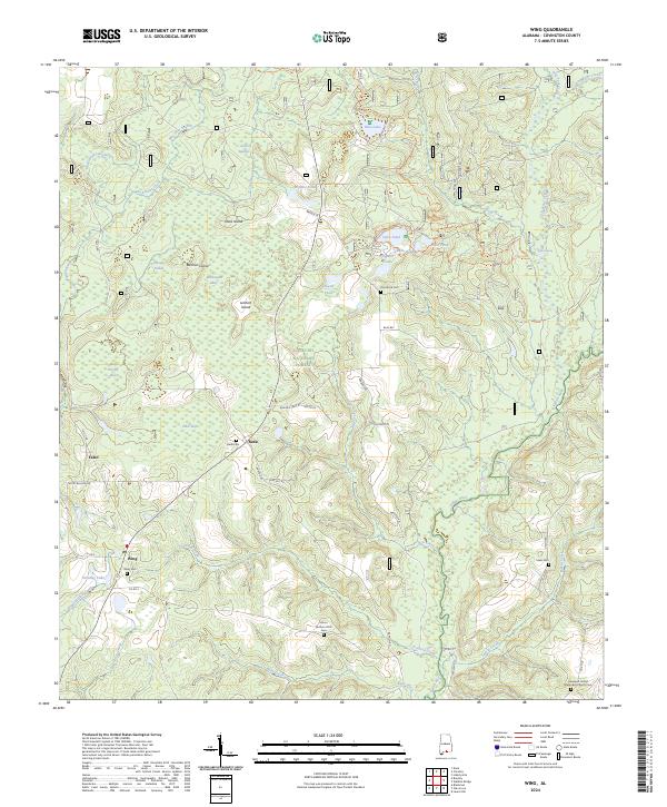
2024 Wing
Covington County, AL