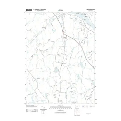
2012 Map of Haddam
USGS Topo · Published 2012About this map
The Haddam landscape is defined by the winding course of the Connecticut River and a dense network of smaller waterways flowing through the interior. In the river’s channel, Haddam Island and the Rock Landing Bar highlight the historical importance of the waterway for navigation and local industry. Near the riverbank, Warners Quarry Dock points to the area's legacy of stone extraction, while the Haddam Meadows State Park preserves a portion of the floodplain.
Find a feature on this map
187 named features on this map. Tap any name to fly to it.
Don’t see what you’re looking for? This feature index may not catch every label — zoom into the map to look around manually.
Map Details
Editions of this 2012 Haddam Map
This is the sole edition of this map. No revisions or reprints were ever made.
Other maps of this area

1892 · Gilead
USGS Topo · 1:62,500

1893 · Guilford
USGS Topo · 1:62,500

1893 · Middletown
USGS Topo · 1:62,500

1893 · Saybrook
USGS Topo · 1:62,500

1906 · Farmington
USGS Topo · 1:125,000

1928 · Cromwell
USGS Topo · 1:24,000

1943 · Durham
USGS Topo · 1:25,000

1944 · Essex
USGS Topo · 1:31,680

1944 · Deep River
USGS Topo · 1:31,680

1945 · Middle Haddam
USGS Topo · 1:31,680