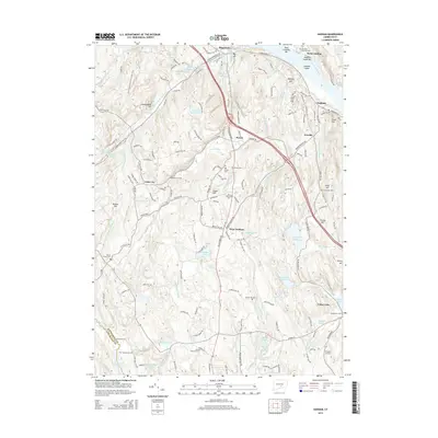
2015 Map of Haddam
USGS Topo · Published 2015About this map
The Connecticut River defines the eastern edge of this landscape, framing the historical settlements of Haddam, Higganum, and Rock Landing. Moving inland, the terrain is shaped by a complex network of brooks and reservoirs, including the Scovill Reservoir and Higganum Reservoir, which historically supported the local milling and manufacturing industries. The map reveals a deeply rooted rural geography, marked by numerous family and neighborhood burying grounds such as the Little City Cem, Burr District Cem, and the uniquely named Stone House Cem.
Find a feature on this map
167 named features on this map. Tap any name to fly to it.
Don’t see what you’re looking for? This feature index may not catch every label — zoom into the map to look around manually.
Map Details
Editions of this 2015 Haddam Map
This is the sole edition of this map. No revisions or reprints were ever made.
Other maps of this area

1892 · Gilead
USGS Topo · 1:62,500

1893 · Guilford
USGS Topo · 1:62,500

1893 · Middletown
USGS Topo · 1:62,500

1893 · Saybrook
USGS Topo · 1:62,500

1906 · Farmington
USGS Topo · 1:125,000

1928 · Cromwell
USGS Topo · 1:24,000

1943 · Durham
USGS Topo · 1:25,000

1944 · Essex
USGS Topo · 1:31,680

1944 · Deep River
USGS Topo · 1:31,680

1945 · Middle Haddam
USGS Topo · 1:31,680