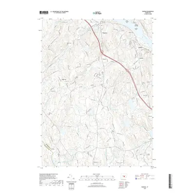
2018 Map of Haddam
USGS Topo · Published 2018About this map
The Connecticut River defines the eastern edge of this landscape, where the Haddam Island Bar and Rock Landing Bar shift against the riverbanks near the settlement of Haddam. Moving inland, the terrain is shaped by a dense network of small brooks and reservoirs, including the Higganum Reservoir and Scovill Reservoir, which once supported the local milling and manufacturing economy of villages like Higganum and Ponset. The high concentration of small, family, or district burial grounds throughout the area—such as the Lane District Cem, Old Ponset Cem, and Pine Orchard Cem—offers a significant resource for genealogists tracing early families in the Connecticut River Valley. The presence of the New England National Scenic Trail and the Blueberry Hill Reserve highlights a modern shift toward conservation and recreation in a region once dominated by timber and small-scale agriculture. The southern reaches are marked by the Chester Airport and the transition into New Haven Co.
Find a feature on this map
72 named features on this map. Tap any name to fly to it.
Don’t see what you’re looking for? This feature index may not catch every label — zoom into the map to look around manually.
Map Details
Editions of this 2018 Haddam Map
This is the sole edition of this map. No revisions or reprints were ever made.
Other maps of this area

1892 · Gilead
USGS Topo · 1:62,500

1893 · Guilford
USGS Topo · 1:62,500

1893 · Middletown
USGS Topo · 1:62,500

1893 · Saybrook
USGS Topo · 1:62,500

1906 · Farmington
USGS Topo · 1:125,000

1928 · Cromwell
USGS Topo · 1:24,000

1943 · Durham
USGS Topo · 1:25,000

1944 · Essex
USGS Topo · 1:31,680

1944 · Deep River
USGS Topo · 1:31,680

1945 · Middle Haddam
USGS Topo · 1:31,680