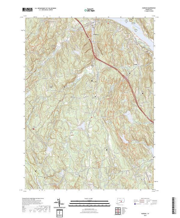
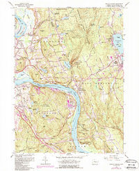
2024 Map of Haddam
USGS Topo · Published 2024About this map
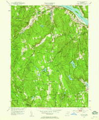
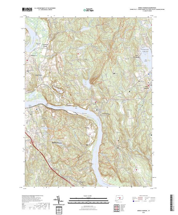
Haddam and Higganum anchor this modern topographical study, which details a landscape deeply connected to the Connecticut River and its numerous tributaries. The map highlights significant genealogical sites, from the ancient Thirty Mile Island Plantation Burial Yard to smaller parish grounds like Saint Mary Cem and the Stone House Cem. The settlement pattern follows the drainage of Higganum Creek and Candlewood Hill Brook, revealing how the terrain influenced the placement of villages such as Ponset and Little City. Inland, the Higganum Reservoir and Scovill Reservoir dominate the upland geography, while protected spaces like the Silvio O Conte National Fish and Wildlife Refuge preserve the riverfront ecosystem. This survey is particularly useful for identifying family burial plots and old crossroads that have persisted through centuries of development.
Find a feature on this map
73 named features on this map. Tap any name to fly to it.
Don’t see what you’re looking for? This feature index may not catch every label — zoom into the map to look around manually.
Map Details
Editions of this 2024 Haddam Map
This is the sole edition of this map. No revisions or reprints were ever made.
Historical Maps of Ponset Through Time
24 maps found
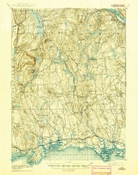
1893 Guilford
Middlesex County, CT
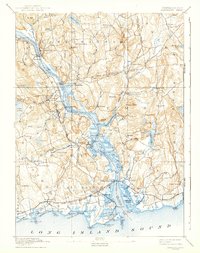
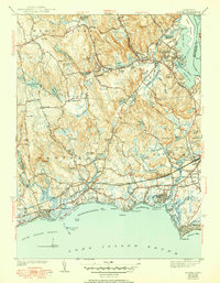
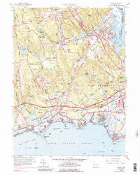
1893 Saybrook
Middlesex County, CT

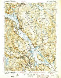
1928 Cromwell
Middlesex County, CT

1943 Durham
Middlesex County, CT
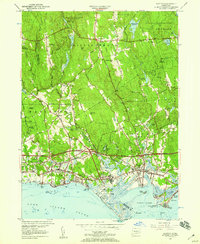
1944 Deep River
Middlesex County, CT
1944 Essex
Middlesex County, CT

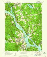
1945 Middle Haddam
Middlesex County, CT
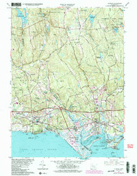
1951 Clinton
Middlesex County, CT
1952 Deep River
Middlesex County, CT
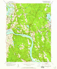
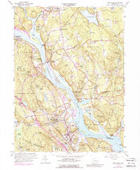
1952 Haddam
Middlesex County, CT
1952 Middle Haddam
Middlesex County, CT
1953 Durham
Middlesex County, CT
1958 Essex
Middlesex County, CT
1961 Clinton
Middlesex County, CT
1961 Deep River
Middlesex County, CT
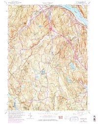
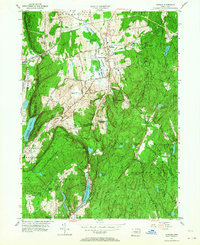
1961 Haddam
Middlesex County, CT
1961 Middle Haddam
Middlesex County, CT
1964 Durham
Middlesex County, CT
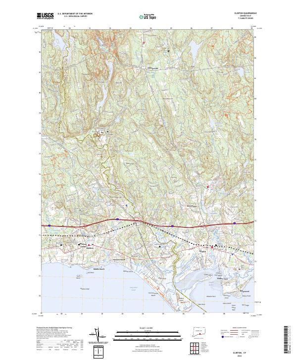
2024 Clinton
Middlesex County, CT
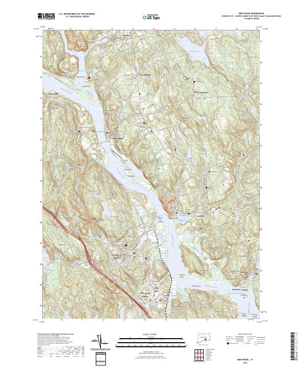
2024 Deep River
Middlesex County, CT
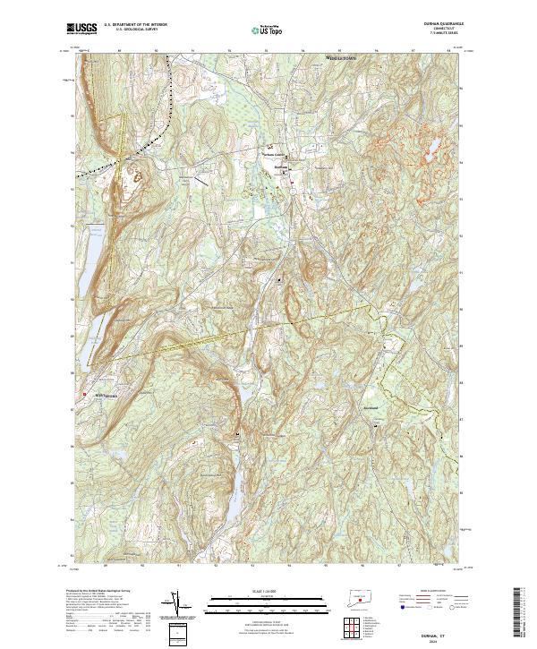
2024 Durham
Middlesex County, CT
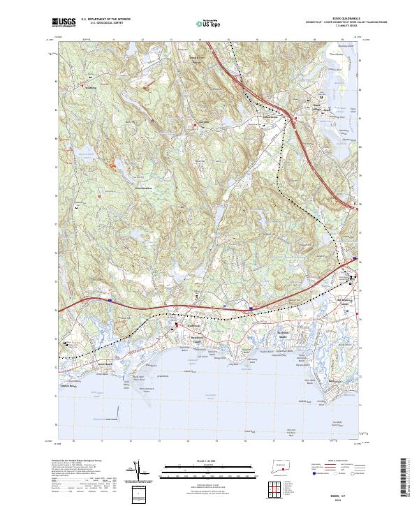
2024 Essex
Middlesex County, CT
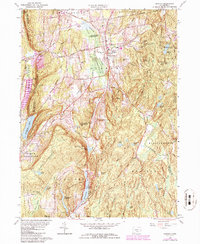
2024 Haddam
Middlesex County, CT
2024 Middle Haddam
Middlesex County, CT