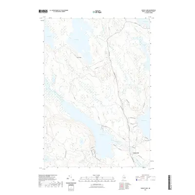
2021 Map of Hadley Lake
USGS Topo · Published 2021About this map
The East Machias River winds through this section of Washington County, connecting a vast network of glacial lakes and wetlands in the Downeast interior. The settlement of Jacksonville serves as the local hub near the southern edge, situated at the confluence of the river and several local thoroughfares like Chases Mill Rd and Jacksonville Rd. The landscape is dominated by significant water bodies, including Hadley Lake, Gardner Lake, and Rocky Lake, which are bordered by expansive marshy areas such as Berry Heath.
Find a feature on this map
46 named features on this map. Tap any name to fly to it.
Don’t see what you’re looking for? This feature index may not catch every label — zoom into the map to look around manually.
Map Details
Editions of this 2021 Hadley Lake Map
This is the sole edition of this map. No revisions or reprints were ever made.
Other maps of this area

1918 · Machias
USGS Topo · 1:62,500

1921 · Columbia Falls
USGS Topo · 1:62,500

1941 · Columbia Falls
USGS Topo · 1:62,500

1941 · Machias
USGS Topo · 1:62,500

1941 · Wesley
USGS Topo · 1:62,500

1941 · Gardner Lake
USGS Topo · 1:62,500

1942 · Columbia Falls
USGS Topo · 1:62,500

1943 · Wesley
USGS Topo · 1:62,500

1943 · Gardner Lake
USGS Topo · 1:62,500
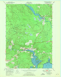
1948 · Whitneyville
USGS Topo · 1:24,000