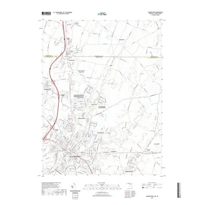
2019 Map of Hagerstown
USGS Topo · Published 2019About this map
Hagerstown and its northern suburbs are meticulously detailed on this recent survey, illustrating the modern footprint of Maryland's largest city in the Panhandle. The landscape is defined by the winding course of Antietam Creek and the busy hub of Hagerstown Regional Airport-Richard A Henson Field. The map reveals a high density of historical cemeteries and churchyards, which anchor residential areas like Paramount-Long Meadow and Fiddlesburg.
Find a feature on this map
66 named features on this map. Tap any name to fly to it.
Don’t see what you’re looking for? This feature index may not catch every label — zoom into the map to look around manually.
Map Details
Editions of this 2019 Hagerstown Map
This is the sole edition of this map. No revisions or reprints were ever made.
Other maps of this area

1900 · Mercersburg
USGS Topo · 1:62,500

1902 · Chambersburg
USGS Topo · 1:62,500

1902 · Mercersburg
USGS Topo · 1:62,500

1909 · Hagerstown
USGS Topo · 1:48,000

1912 · Hagerstown
USGS Topo · 1:62,500

1912 · Williamsport
USGS Topo · 1:62,500

1942 · Hagerstown
USGS Topo · 1:125,000

1943 · Hagerstown
USGS Topo · 1:125,000

1943 · Chambersburg
USGS Topo · 1:62,500

1943 · Mercersburg
USGS Topo · 1:62,500