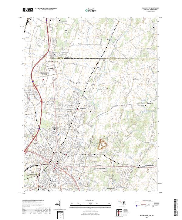
2023 Map of Hagerstown
USGS Topo · Published 2023About this map
Hagerstown and its northern suburbs are documented here at the intersection of modern logistics and colonial-era settlement patterns. The landscape is defined by its position on the State Line, where Washington County, Maryland, meets Franklin County, Pennsylvania. This transition is marked by a concentration of historic ecclesiastical sites and family burial plots, such as the Lowman Family Burial Grounds and the Salem Ridge Mennonite Church Cem. These sites reflect the deep agricultural roots of the Cumberland Valley, even as the area evolved into a regional transportation hub.
Find a feature on this map
274 named features on this map. Tap any name to fly to it.
Don’t see what you’re looking for? This feature index may not catch every label — zoom into the map to look around manually.
Map Details
Editions of this 2023 Hagerstown Map
This is the sole edition of this map. No revisions or reprints were ever made.
Other maps of this area

1900 · Mercersburg
USGS Topo · 1:62,500

1902 · Chambersburg
USGS Topo · 1:62,500

1902 · Mercersburg
USGS Topo · 1:62,500

1909 · Hagerstown
USGS Topo · 1:48,000

1912 · Hagerstown
USGS Topo · 1:62,500

1912 · Williamsport
USGS Topo · 1:62,500

1942 · Hagerstown
USGS Topo · 1:125,000

1943 · Hagerstown
USGS Topo · 1:125,000

1943 · Chambersburg
USGS Topo · 1:62,500

1943 · Mercersburg
USGS Topo · 1:62,500