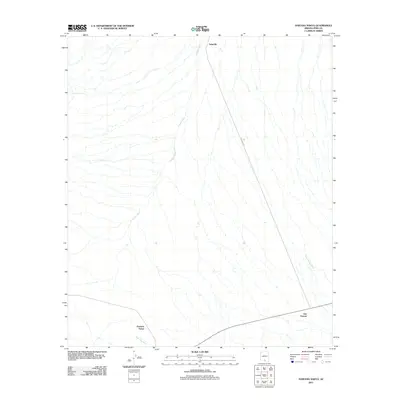
2011 Map of Haivana Nakya
USGS Topo · Published 2011About this map
Haivana Nakya sits within a desert landscape defined by an intricate network of seasonal drainage channels in Pima County. This 2011 survey illustrates the sparse settlement patterns of the Schuk Toak District, where small communities like San Vicente and Schuchk are positioned near primary transit corridors. The terrain is characterized by the northward flow of Anegan Wash, which dominates the central portion of the quadrangle, alongside Son-Vicente Wash and Pavo Kug Wash. Transport through this arid environment relies on Indian Rte 35, providing a critical link between these isolated desert settlements. The map's detail shows how the local geography is carved by water, even in a region where surface flow is intermittent.
Find a feature on this map
7 named features on this map. Tap any name to fly to it.
Don’t see what you’re looking for? This feature index may not catch every label — zoom into the map to look around manually.
Map Details
Editions of this 2011 Haivana Nakya Map
This is the sole edition of this map. No revisions or reprints were ever made.
Other maps of this area

1934 · Silver Bell
USGS Topo · 1:125,000

1937 · Comobabi
USGS Topo · 1:48,000

1938 · San Vicente
USGS Topo · 1:62,500

1941 · San Vicente
USGS Topo · 1:62,500

1941 · Baboquivari Peak
USGS Topo · 1:62,500

1941 · Sells
USGS Topo · 1:62,500

1942 · San Vicente
USGS Topo · 1:62,500

1942 · Comobabi
USGS Topo · 1:62,500

1943 · Sells
USGS Topo · 1:62,500

1943 · Fresnal
USGS Topo · 1:125,000
Featured Places
- Schuk Toak District, AZ
- Haivana Nakya, Schuk Toak District
- San Vicente, Schuk Toak District
- Schuchk, Schuk Toak District
- Pima County, AZ