
1941 Map of Baboquivari Peak
USGS Topo · Published 1955About this map
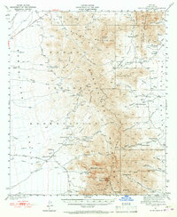
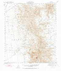
Baboquivari Peak and the high ridges of the Baboquivari Mountains dominate this 1941 landscape, a region deeply connected to the Tohono O'odham people within the Papago Indian Reservation. The map details a desert environment structured by seasonal water and cattle ranching, where numerous family outposts like Redondo Ranch, Otero Ranch, and Fresnal Ranch dot the Alambre Valley and surrounding foothills. Higher in the mountains, the presence of the Allison Mine and Allison Camp reflects early twentieth-century mineral interests, while Indian Ruins and the Fresnal Canyon School provide glimpses into the layered history of settlement here.
Find a feature on this map
61 named features on this map. Tap any name to fly to it.
Don’t see what you’re looking for? This feature index may not catch every label — zoom into the map to look around manually.
Map Details
Editions of this 1941 Baboquivari Peak Map
3 editions found
Other maps of this area

1920 · Arivaca
USGS Topo · 1:125,000

1934 · Tucson Mountains
USGS Topo · 1:125,000

1934 · Silver Bell
USGS Topo · 1:125,000

1937 · Comobabi
USGS Topo · 1:48,000

1938 · San Vicente
USGS Topo · 1:62,500

1940 · Palo Alto Ranch
USGS Topo · 1:62,500

1941 · Presumido Peak
USGS Topo · 1:62,500

1941 · San Vicente
USGS Topo · 1:62,500

1941 · Cocoraque Butte
USGS Topo · 1:62,500

1941 · Arivaca
USGS Topo · 1:62,500