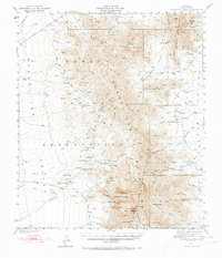
1941 Map of Baboquivari Peak
USGS Topo · Published 1973About this map
The Papago Indian Reservation dominates this 1941 landscape, showcasing a complex network of traditional settlements and ranching outposts in Pima County. Small communities like Gu Chuapo and Ali Molina are connected by the Foothill Truck Trail, reflecting the desert-adapted settlement patterns of the era. The presence of the Fresnal Canyon Sch and the Allison Mine underscores a self-sufficient local economy driven by both education and resource extraction.
Find a feature on this map
53 named features on this map. Tap any name to fly to it.
Don’t see what you’re looking for? This feature index may not catch every label — zoom into the map to look around manually.
Map Details
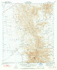
Editions of this 1941 Baboquivari Peak Map
3 editions found
Other maps of this area

1920 · Arivaca
USGS Topo · 1:125,000

1934 · Tucson Mountains
USGS Topo · 1:125,000

1934 · Silver Bell
USGS Topo · 1:125,000

1937 · Comobabi
USGS Topo · 1:48,000

1938 · San Vicente
USGS Topo · 1:62,500

1940 · Palo Alto Ranch
USGS Topo · 1:62,500

1941 · Presumido Peak
USGS Topo · 1:62,500

1941 · San Vicente
USGS Topo · 1:62,500

1941 · Cocoraque Butte
USGS Topo · 1:62,500

1941 · Baboquivari Peak
USGS Topo · 1:62,500