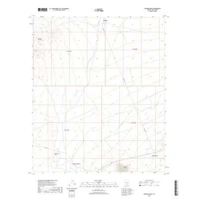
2018 Map of Haivana Nakya
USGS Topo · Published 2018About this map
Baboquivari Valley defines the central landscape of this Pima County quadrangle, situated between the high peaks of the Comobari Mountains to the northwest and the Quinlan Mountains to the south. This 2018 survey by the U.S. Geological Survey documents the traditional settlements and watercourses that structure life in this arid basin. The primary communities of Haivana Nakya, Schuchk, and San Vicente are connected by Indian Rte 35, illustrating the enduring settlement patterns of the Schuk Toak District. The intricate desert drainage system is clearly articulated through features like Anegan Wash, Pavo Kug Wash, and Son Vicente Wash, which dictate the topography and historical travel routes across the valley floor. Researchers will find the township and range boundaries, such as t15s r6e, provide a precise grid for locating specific land parcels and historical sites within the Tohono O'odham Nation.
Find a feature on this map
15 named features on this map. Tap any name to fly to it.
Don’t see what you’re looking for? This feature index may not catch every label — zoom into the map to look around manually.
Map Details
Editions of this 2018 Haivana Nakya Map
This is the sole edition of this map. No revisions or reprints were ever made.
Other maps of this area

1934 · Silver Bell
USGS Topo · 1:125,000

1937 · Comobabi
USGS Topo · 1:48,000

1938 · San Vicente
USGS Topo · 1:62,500

1941 · San Vicente
USGS Topo · 1:62,500

1941 · Baboquivari Peak
USGS Topo · 1:62,500

1941 · Sells
USGS Topo · 1:62,500

1942 · San Vicente
USGS Topo · 1:62,500

1942 · Comobabi
USGS Topo · 1:62,500

1943 · Sells
USGS Topo · 1:62,500

1943 · Fresnal
USGS Topo · 1:125,000
Featured Places
- Schuk Toak District, AZ
- Haivana Nakya, Schuk Toak District
- San Vicente, Schuk Toak District
- Schuchk, Schuk Toak District
- Pima County, AZ