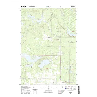
2017 Map of Hale
USGS Topo · Published 2017About this map
Hale and the surrounding woodlands of the Huron National Forest dominate this landscape, which is defined by an intricate network of kettle lakes and rivers. The transition from the dense cluster of water bodies like Loon Lake and Long Lake in the south to the larger aquatic features like Loud Dam Pond and the Au Sable River to the north reflects the complex glacial geology of the region. Local history is anchored by the community of Hale and the smaller locality of The Jackpines, with Thompson Cem and Hale Cem providing points of interest for genealogical research. The mapping reveals a mix of recreational and residential development, particularly around Jose Lake and Catherine Lake, alongside established trails such as the Mi Shore to Shore Horsehike and the Channels Trail, which highlight the area's long-standing connection to outdoor navigation and land use.
Find a feature on this map
81 named features on this map. Tap any name to fly to it.
Don’t see what you’re looking for? This feature index may not catch every label — zoom into the map to look around manually.
Map Details
Editions of this 2017 Hale Map
This is the sole edition of this map. No revisions or reprints were ever made.
Other maps of this area

1954 · Tawas City
USGS Topo · 1:250,000

1958 · Tawas City
USGS Topo · 1:250,000

1959 · Tawas City
USGS Topo · 1:62,500

1959 · Glennie
USGS Topo · 1:62,500

1968 · Hale
USGS Topo · 1:24,000

1968 · Sage Lake
USGS Topo · 1:24,000

1968 · South Branch
USGS Topo · 1:24,000

1968 · Hale SE
USGS Topo · 1:24,000

1972 · Goodar
USGS Topo · 1:24,000

1972 · Alcona Dam Pond
USGS Topo · 1:24,000