
1972 Map of Goodar
USGS Topo · Published 1975About this map
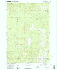
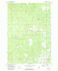
Huron National Forest lands dominate this northern Michigan landscape, where the Au Sable River cuts through the northern sections of the map. The area is defined by its extensive network of logging history and early transport, evidenced by the presence of the Old RR Grade and Railroad Grade Road in the southern reaches. These remnants point to the region's timber heritage, connecting the isolated settlement of Goodar to the broader regional economy. Water is a constant feature across the terrain, from larger bodies like Hughes Lake and Emley Lake to the complex of Three Lakes. Small-scale resource extraction is visible through several Gravel Pits and a Sandpit scattered near the road networks. The map also captures a rare hydrological detail with a Flowing Well located in the eastern portion of the forest near the Alcona Co border.
Find a feature on this map
40 named features on this map. Tap any name to fly to it.
Don’t see what you’re looking for? This feature index may not catch every label — zoom into the map to look around manually.
Map Details
Editions of this 1972 Goodar Map
3 editions found
Other maps of this area

1954 · Traverse City
USGS Topo · 1:250,000

1954 · Tawas City
USGS Topo · 1:250,000

1958 · Traverse City
USGS Topo · 1:250,000

1958 · Tawas City
USGS Topo · 1:250,000

1965 · Rose City
USGS Topo · 1:24,000

1968 · Hale
USGS Topo · 1:24,000

1968 · South Branch
USGS Topo · 1:24,000

1972 · McKinley
USGS Topo · 1:24,000

1972 · Curran
USGS Topo · 1:24,000

1972 · Mack Lake
USGS Topo · 1:24,000