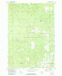
1972 Map of Goodar
USGS Topo · Published 1989About this map
The Huron National Forest dominates this northeastern Michigan landscape, where the Au Sable River cuts through the northern timberlands. In the early 1970s, the area remained a dense network of forest roads and watercourses, anchored by the small settlement of Goodar at the southern boundary. This map reveals a transition between Mentor and Mitchell, where numerous lakes like Hughes Lake and Emley Lake dot the forested terrain.
Find a feature on this map
34 named features on this map. Tap any name to fly to it.
Don’t see what you’re looking for? This feature index may not catch every label — zoom into the map to look around manually.
Map Details
Editions of this 1972 Goodar Map
3 editions found
Other maps of this area

1954 · Traverse City
USGS Topo · 1:250,000

1954 · Tawas City
USGS Topo · 1:250,000

1958 · Traverse City
USGS Topo · 1:250,000

1958 · Tawas City
USGS Topo · 1:250,000

1965 · Rose City
USGS Topo · 1:24,000

1968 · Hale
USGS Topo · 1:24,000

1968 · South Branch
USGS Topo · 1:24,000

1972 · McKinley
USGS Topo · 1:24,000

1972 · Curran
USGS Topo · 1:24,000

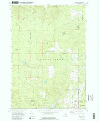
1972 · Goodar
USGS Topo · 1:24,000