
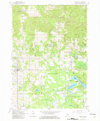
1965 Map of Rose City
USGS Topo · Published 1967About this map
Rose City and the neighboring settlement of Lupton serve as the primary hubs in this mid-1960s snapshot of Ogemaw County, where the landscape is defined by the transition from settled agriculture and small-town commerce to the protected wilderness of the Huron National Forest and Ogemaw State Forest. The map documents a region heavily influenced by its water resources and outdoor recreation, particularly within the Rifle River State Recreation Area, which encompasses unique glacial features like the Devils Washbasin and a dense cluster of lakes including Grousehaven Lake and Jewett Lake.
Find a feature on this map
72 named features on this map. Tap any name to fly to it.
Don’t see what you’re looking for? This feature index may not catch every label — zoom into the map to look around manually.
Map Details
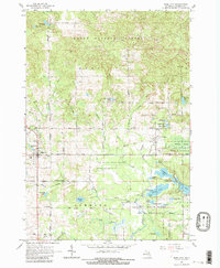
Editions of this 1965 Rose City Map
3 editions found
Other maps of this area

1954 · Traverse City
USGS Topo · 1:250,000

1954 · Tawas City
USGS Topo · 1:250,000

1958 · Traverse City
USGS Topo · 1:250,000

1958 · Tawas City
USGS Topo · 1:250,000

1965 · Damon
USGS Topo · 1:24,000

1965 · West Branch
USGS Topo · 1:24,000

1965 · Selkirk
USGS Topo · 1:24,000

1968 · Sage Lake
USGS Topo · 1:24,000

1968 · South Branch
USGS Topo · 1:24,000

1972 · Goodar
USGS Topo · 1:24,000